Clay Pit Pond, Belmont
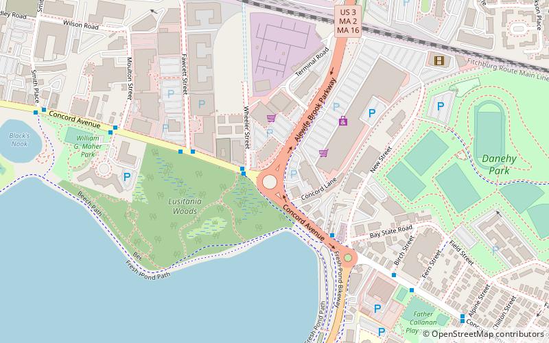
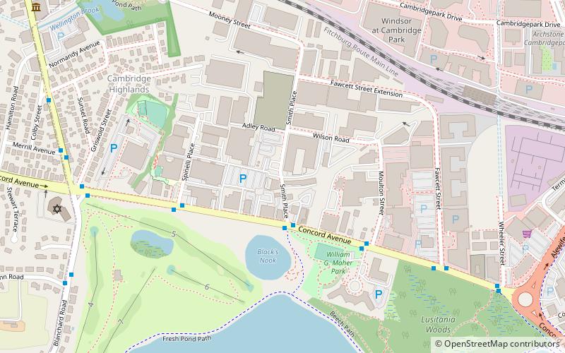
Map
Gallery
Facts and practical information
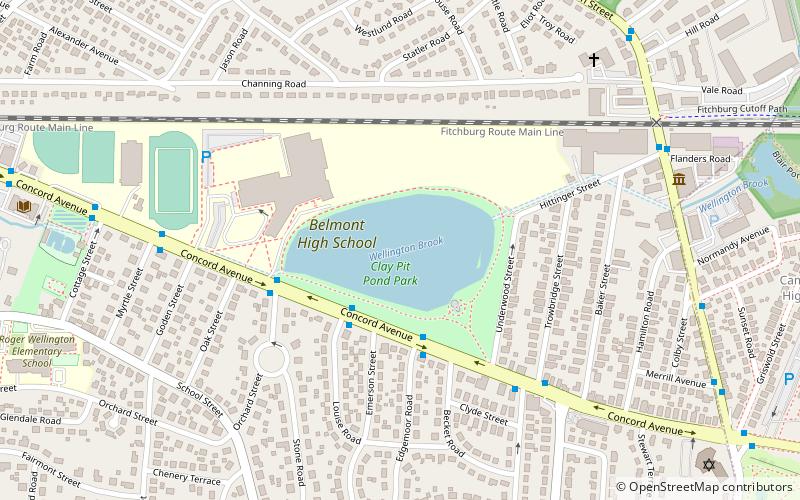
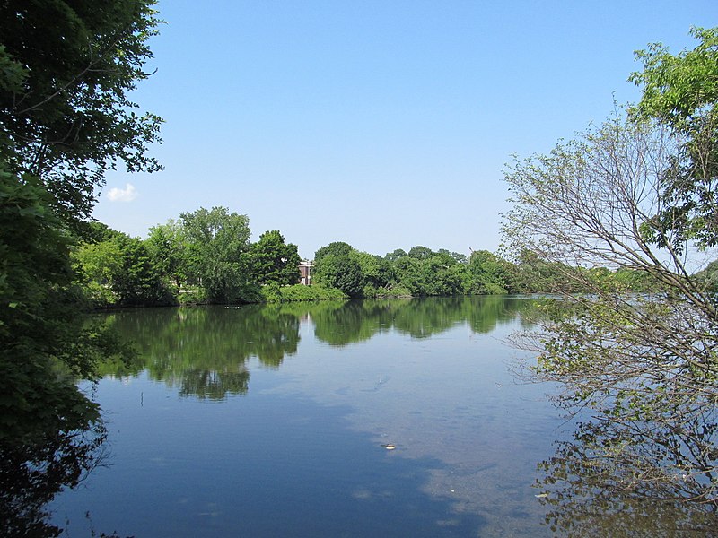
Clay Pit Pond, also known as Claypit Pond, is a pond in the Boston suburb of Belmont in Middlesex County, Massachusetts situated between Concord Avenue and Belmont High School. It is a man-made pond, excavated as the source of clay for industrial brick-making on the site from 1888 to 1926. The pond was formed in 1933 when the Wellington Brook was redirected to flood the site, making it an essential part of the drainage system for much of Belmont. ()
Elevation: 13 ft a.s.l.Coordinates: 42°23'38"N, 71°9'51"W
Day trips
Clay Pit Pond – popular in the area (distance from the attraction)
Nearby attractions include: Calvary Methodist Church, Spy Pond, Alewife Brook Reservation, Fresh Pond Parkway.
Frequently Asked Questions (FAQ)
Which popular attractions are close to Clay Pit Pond?
Nearby attractions include Belmont Public Library, Belmont (11 min walk), Fo Guang Buddhist Temple Boston, Belmont (19 min walk), Cambridge Highlands, Belmont (19 min walk), First Parish Church Parsonage, Arlington (23 min walk).
How to get to Clay Pit Pond by public transport?
The nearest stations to Clay Pit Pond:
Train
Bus
Train
- Belmont (16 min walk)
Bus
- Pleasant St @ Gould Rd • Lines: 67 (28 min walk)
- Alewife (30 min walk)

