Alewife Brook Reservation, Boston
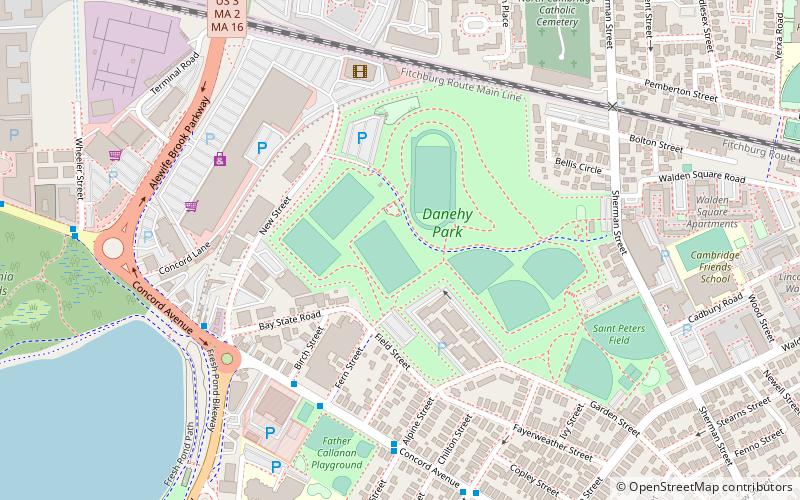
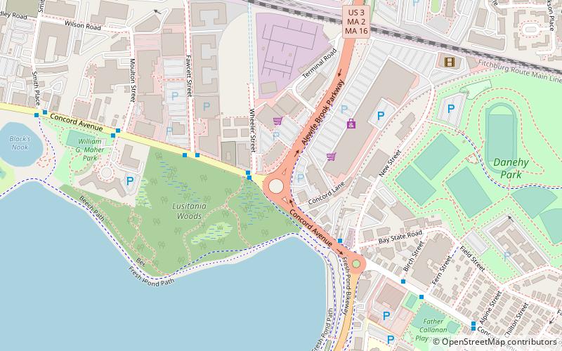
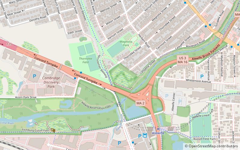
Map
Gallery
Facts and practical information
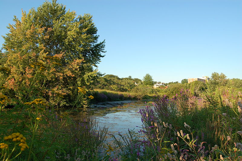
Alewife Brook Reservation is a Massachusetts state park and urban wild located in Cambridge, Arlington, and Somerville. The park is managed by the state Department of Conservation and Recreation and was established in 1900. It is named for Alewife Brook, which was also historically known as Menotomy River, a tributary of the Mystic River. ()
Elevation: 3 ft a.s.l.Coordinates: 42°23'56"N, 71°8'36"W
Day trips
Alewife Brook Reservation – popular in the area (distance from the attraction)
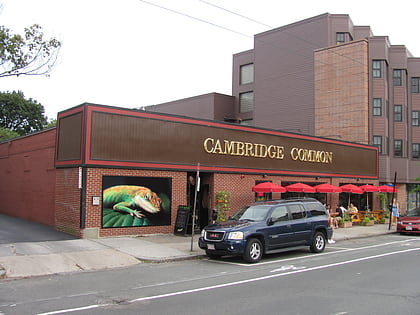
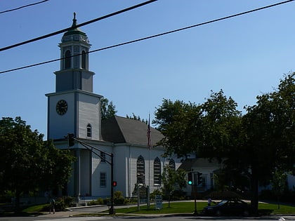
Nearby attractions include: Lizard Lounge, Fitchburg Cutoff, Somerville Community Path, Calvary Methodist Church.
Frequently Asked Questions (FAQ)
Which popular attractions are close to Alewife Brook Reservation?
Nearby attractions include Butterfield-Whittemore House, Arlington (9 min walk), Rindge Towers, Arlington (11 min walk), Fitchburg Cutoff, Boston (12 min walk), Capitol Theater Building, Arlington (13 min walk).
How to get to Alewife Brook Reservation by public transport?
The nearest stations to Alewife Brook Reservation:
Bus
Metro
Bus
- Alewife (7 min walk)
- Pleasant St @ Gould Rd • Lines: 67 (27 min walk)
Metro
- Alewife • Lines: Red (7 min walk)
- Davis • Lines: Red (28 min walk)

 MBTA Subway