Oyster Point Marina/Park, South San Francisco
#4 among attractions in South San Francisco


Facts and practical information
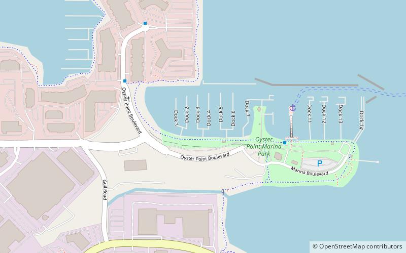
Oyster Point Marina/Park is a 408-berth public marina and 33-acre park located in the city of South San Francisco, California on the western shoreline of San Francisco Bay. ()
South San Francisco (Oyster Point)South San Francisco United States
South San Francisco plan & book
Unleash the traveler in you — discover the cheapest flight deals, find the perfect hotel or hostel nearby, and search for the best car rental prices. Travel at your own pace to discover new places and enjoy your journey.
Oyster Point Marina/Park – popular in the area (distance from the attraction)
Nearby attractions include: Cow Palace, The Shops at Tanforan, Golden Gate National Cemetery, San Bruno Mountain.
3.7 miNWSport venue, Sport, Convention centerCow Palace, San Francisco
94 min walk • Nestled in the vibrant city of San Francisco, the Cow Palace stands as a renowned sport venue with a storied past stretching back to its inception in 1941. Originally constructed to house livestock exhibitions, hence the bovine-inspired name, the Cow Palace has...
2.7 miSWShopping, Shopping centreThe Shops at Tanforan, San Bruno
70 min walk • The Shops at Tanforan is a regional shopping mall in San Bruno, California, United States. It is located on the San Francisco Peninsula, 10 miles south of San Francisco city limits.
3.3 miSWCemeteryGolden Gate National Cemetery, San Bruno
86 min walk • Golden Gate National Cemetery is a United States national cemetery in California, located in the city of San Bruno, 12 miles south of San Francisco.
3 miNWNature, Natural attraction, MountainSan Bruno Mountain, Daly City
77 min walk • San Bruno Mountain is located in northern San Mateo County, California, with some slopes of the mountain crossing over into southern San Francisco. Most of the mountain lies within the 2,326-acre San Bruno Mountain State Park. Next to the state park is the 83-acre state San Bruno Mountain Ecological Reserve on the north slope.
2.9 miSWGambling, Nightlife, CasinoArtichoke Joe's Casino, San Bruno
75 min walk • Artichoke Joe's Casino is a card club in San Bruno, California. The club is owned by Dennis Sammut and managed, in part, by Ron Cox, a former Foster City councilman.
3.6 miNParkBayview Park, San Francisco
93 min walk • Bayview Park is a 46.63-acre park in the Bayview-Hunters Point neighborhood of southeast San Francisco. The park's land is mainly occupied by a large hill named either Bayview Hill or Candlestick Hill, west of the former site of Candlestick Park and east of the Bayshore Freeway; it is prominently visible from both.
3.7 miNParkCandlestick Point State Recreation Area, San Francisco
94 min walk • Candlestick Point State Recreation Area is a state park unit of California, United States, providing an urban protected area on San Francisco Bay.
3.5 miWCemeteryHoly Cross Cemetery, Daly City
91 min walk • Holy Cross Catholic Cemetery in Colma, California is an American Roman Catholic cemetery operated by the Archdiocese of San Francisco.
4.2 miWCemeteryCypress Lawn Memorial Park, Daly City
109 min walk • Cypress Lawn Memorial Park, established by Hamden Holmes Noble in 1892, is a rural cemetery located in Colma, California, a place known as the "City of the Silent".
1 miNPostmodern architectureDakin Building, San Francisco
25 min walk • The Dakin Building is an architectural award-winning class A office building on the San Francisco Bay in Brisbane, California. Serving as a corporate headquarters building for several companies of national prominence, it was built from the profits of the Garfield character whose licensed products of the R.
2.1 miWMemorialSouth San Francisco hillside sign, South San Francisco
54 min walk • The South San Francisco Hillside Sign is a historic sign on a hillside overlooking the city of South San Francisco in San Mateo County, California. It was created in the 1920s and was listed on the National Register of Historic Places in 1996.