Bayview Park, San Francisco


Facts and practical information
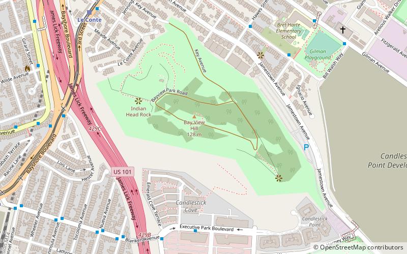
Bayview Park is a 46.63-acre park in the Bayview-Hunters Point neighborhood of southeast San Francisco. The park's land is mainly occupied by a large hill named either Bayview Hill or Candlestick Hill, west of the former site of Candlestick Park and east of the Bayshore Freeway; it is prominently visible from both. The hill was initially proposed as parkland by Daniel Burnham in his 1905 Burnham Plan for San Francisco as Visitacion Park, but the park was not created until 1915. Prior to that, the title to the land was held by the Bay View Land Company, which intended to erect luxury houses on the site. After plans for housing fell through, it was proposed to create a pest house on the site in 1902 until the Crocker Land Company donated adjacent land to the city to block plans for the pest house. KYA opened a studio and 5000-watt radio transmitter on the hill in 1937, and further development of the area occurred in 1958, when part of the hill was quarried to create fill and land for Candlestick Park. Currently, the park receives relatively few visitors to what is considered one of the best-preserved remnants of pre-Columbian open spaces in San Francisco. ()
Southeast San Francisco (Candlestick Point State Recreation Area)San Francisco
Bayview Park – popular in the area (distance from the attraction)
Nearby attractions include: Candlestick Point State Recreation Area, Bayview–Hunters Point, Little Hollywood, Visitacion Valley.
Frequently Asked Questions (FAQ)
Which popular attractions are close to Bayview Park?
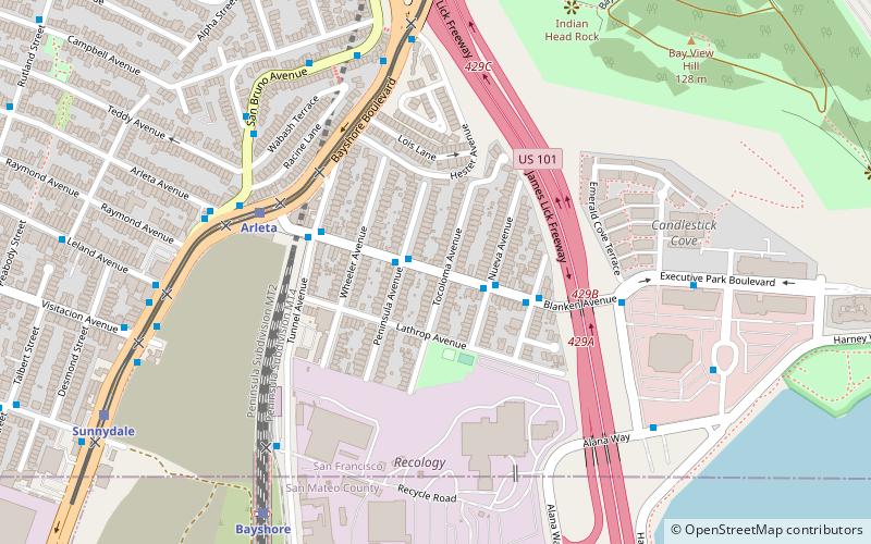
How to get to Bayview Park by public transport?
Bus
- Ingerson Avenue & Hawes Street • Lines: 29 (7 min walk)
- Bayshore Boulevard & Hester Avenue • Lines: 91, Tbus (9 min walk)
Light rail
- Le Conte • Lines: T (10 min walk)
- Arleta • Lines: T (14 min walk)
Train
- Bayshore (18 min walk)

 Muni Metro


