Joseph Knowland State Arboretum and Park, Oakland
Map

Gallery

Facts and practical information
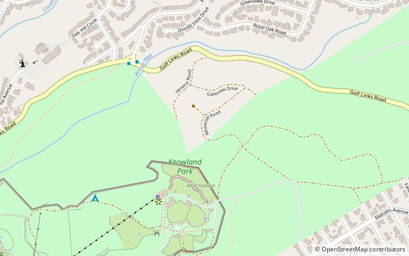
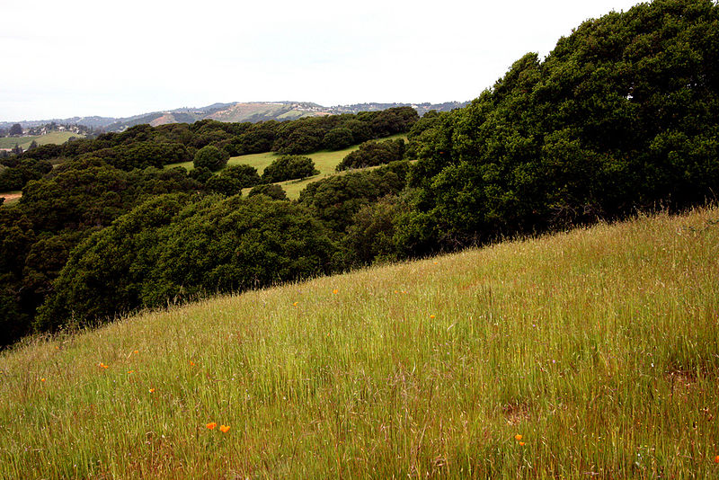
Joseph Knowland State Arboretum and Park is a park located in the Grass Valley neighborhood of Oakland, California. It was formerly a state park, and is now the property of the City of Oakland. The Oakland Zoo occupies the developed western lowlands of the park, just off I-580. ()
Elevation: 509 ft a.s.l.Coordinates: 37°45'19"N, 122°8'17"W
Address
South Hills (Joseph Knowland State Arboretum and Park)Oakland
ContactAdd
Social media
Add
Day trips
Joseph Knowland State Arboretum and Park – popular in the area (distance from the attraction)
Nearby attractions include: Oakland Zoo, Dunsmuir House, Lake Chabot Golf Course, Sequoyah Heights.
Frequently Asked Questions (FAQ)
Which popular attractions are close to Joseph Knowland State Arboretum and Park?
Nearby attractions include Oakland Zoo, Oakland (14 min walk), Sequoyah Heights, Oakland (20 min walk), Dunsmuir House, Oakland (23 min walk).
How to get to Joseph Knowland State Arboretum and Park by public transport?
The nearest stations to Joseph Knowland State Arboretum and Park:
Bus
Bus
- Mountain Boulevard & Calafia Avenue • Lines: 46 (15 min walk)
- Oakland Zoo • Lines: 46 (17 min walk)


