Sequoyah Heights, Oakland

Map
Facts and practical information
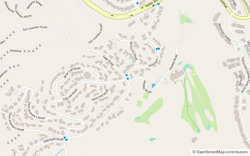
Sequoyah Heights is a smaller part of the Oak Knoll neighborhood that runs alongside the southeastern part of the Oakland hills. The neighborhood borders San Leandro. ()
Coordinates: 37°45'58"N, 122°8'14"W
Address
South Hills (Sequoyah)Oakland
ContactAdd
Social media
Add
Day trips
Sequoyah Heights – popular in the area (distance from the attraction)
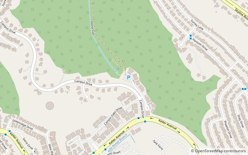
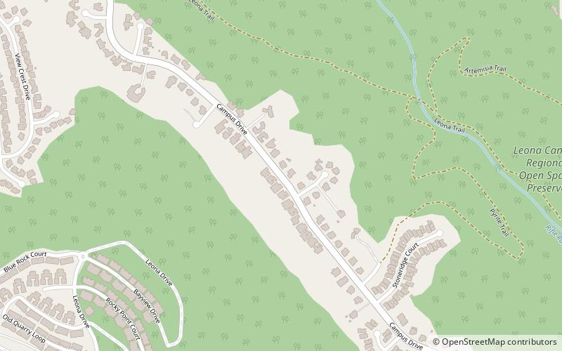
Nearby attractions include: Oakland Zoo, Leona Canyon Regional Open Space Preserve, Joseph Knowland State Arboretum and Park, Ridgemont.
Frequently Asked Questions (FAQ)
Which popular attractions are close to Sequoyah Heights?
Nearby attractions include Joseph Knowland State Arboretum and Park, Oakland (20 min walk), Leona Canyon Regional Open Space Preserve, Oakland (21 min walk).
How to get to Sequoyah Heights by public transport?
The nearest stations to Sequoyah Heights:
Bus
Bus
- Oakland Naval Medical Center • Lines: 46 (18 min walk)
- Mountain Boulevard & Calafia Avenue • Lines: 46 (22 min walk)


