Union Square, Boston
Map
Gallery
Facts and practical information
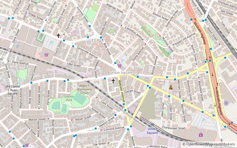
Union Square is a neighborhood in the southeastern part of Somerville, Massachusetts. It is centered on Union Square proper, which is located at the intersection of Washington Street, Webster Avenue, and Somerville Avenue. ()
Coordinates: 42°22'47"N, 71°5'47"W
Day trips
Union Square – popular in the area (distance from the attraction)
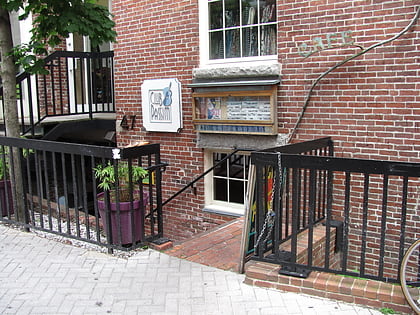
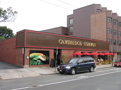
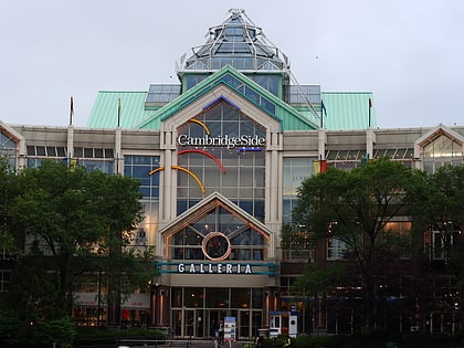
Nearby attractions include: Club Passim, Lizard Lounge, CambridgeSide, Legoland Discovery Center Boston.
Frequently Asked Questions (FAQ)
Which popular attractions are close to Union Square?
Nearby attractions include United States Post Office–Newburyport Main, Boston (3 min walk), P.A.'s Lounge, Boston (4 min walk), Bow Street Historic District, Boston (4 min walk), House at 5 Prospect Hill, Boston (6 min walk).
How to get to Union Square by public transport?
The nearest stations to Union Square:
Bus
Metro
Train
Bus
- Somerville Ave @ Stone Ave • Lines: 91 (2 min walk)
- 25 Webster Ave @ Newton St • Lines: 91 (3 min walk)
Metro
- Sullivan Square • Lines: Orange (27 min walk)
- Central Square • Lines: Red (27 min walk)
Train
- Porter (33 min walk)

 MBTA Subway