Somerville Community Path, Arlington
Map

Gallery

Facts and practical information
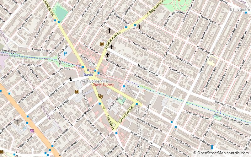
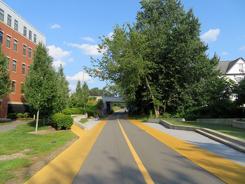
The Somerville Community Path is a paved rail trail in Somerville, Massachusetts, running 1.3 miles from Massachusetts Avenue to Lowell Street via Davis Square. Opened in segments between 1985 and 2015, it follows part of the former Fitchburg Cutoff rail line. A 1.9-mile extension to East Cambridge will open in 2021 as part of the Green Line Extension project. ()
Coordinates: 42°23'47"N, 71°7'12"W
Day trips
Somerville Community Path – popular in the area (distance from the attraction)
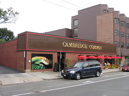
Nearby attractions include: Lizard Lounge, The Highland, Fitchburg Cutoff, Davis Square.
Frequently Asked Questions (FAQ)
Which popular attractions are close to Somerville Community Path?
Nearby attractions include Davis Square, Boston (3 min walk), West Somerville Branch Library, Boston (4 min walk), Somerville Theatre, Boston (4 min walk), Chester Kingsley House, Arlington (8 min walk).
How to get to Somerville Community Path by public transport?
The nearest stations to Somerville Community Path:
Metro
Train
Bus
Metro
- Davis • Lines: Red (4 min walk)
- Porter • Lines: Red (14 min walk)
Train
- Porter (15 min walk)
Bus
- Alewife (28 min walk)


