Penn Treaty Park, Philadelphia
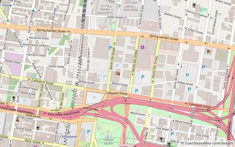
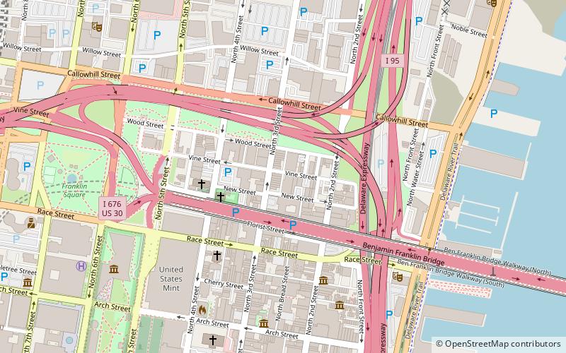
Map
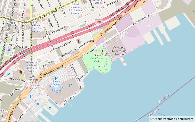
Map

Facts and practical information
Penn Treaty Park is a small park on the western bank of the Delaware River, in the Fishtown neighborhood of Philadelphia, Pennsylvania. It is located on Beach Street, near its intersection with Delaware Avenue. ()
Elevation: 13 ft a.s.l.Coordinates: 39°57'58"N, 75°7'43"W
Day trips
Penn Treaty Park – popular in the area (distance from the attraction)
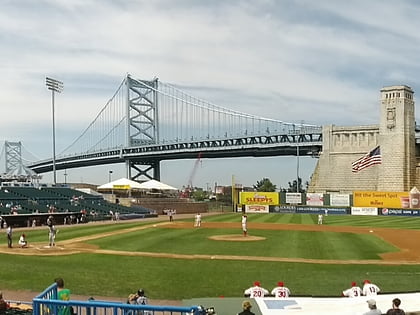
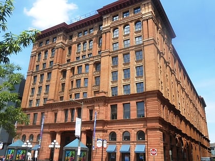
Nearby attractions include: Franklin Music Hall, Campbell's Field, Benjamin Franklin Bridge, Philadelphia Bourse.
Frequently Asked Questions (FAQ)
Which popular attractions are close to Penn Treaty Park?
Nearby attractions include Rivers Casino Philadelphia, Philadelphia (6 min walk), George Chandler School, Philadelphia (8 min walk), Girard Avenue, Philadelphia (10 min walk), Daniel Boone School, Philadelphia (10 min walk).
How to get to Penn Treaty Park by public transport?
The nearest stations to Penn Treaty Park:
Tram
Metro
Train
Tram
- Frankford Avenue & Richmond Street • Lines: 15 (8 min walk)
- Girard Avenue & Front Street • Lines: 15 (12 min walk)
Metro
- Girard • Lines: Mfl (12 min walk)
- Spring Garden • Lines: Mfl (19 min walk)
Train
- Temple University (40 min walk)

 SEPTA Regional Rail