Northern Liberties, Philadelphia
Map
Gallery
Facts and practical information
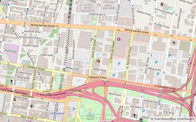
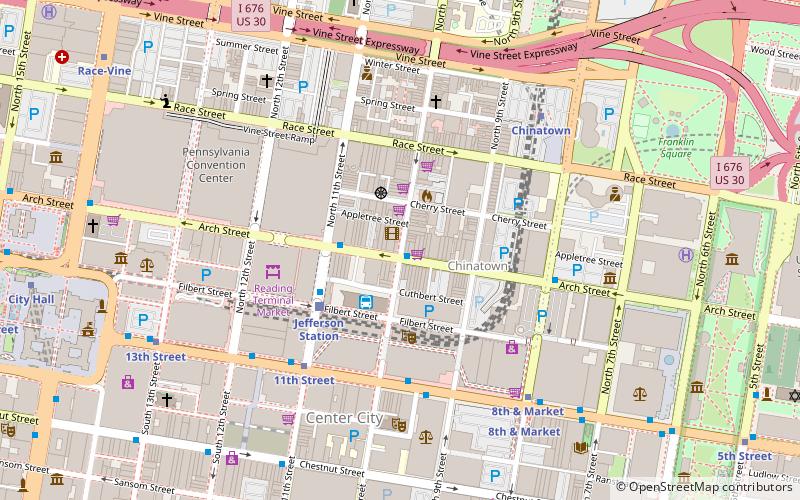
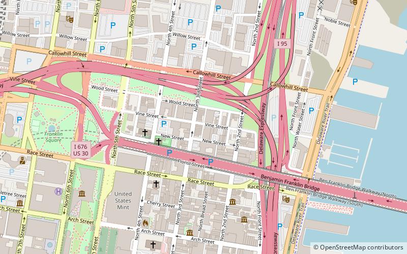
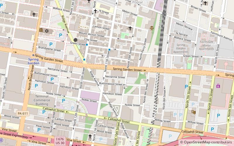
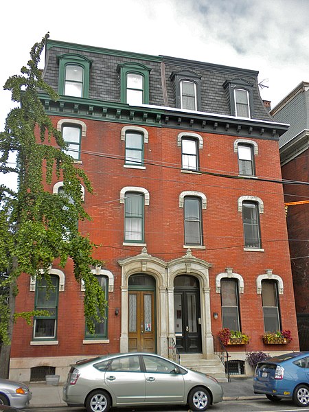
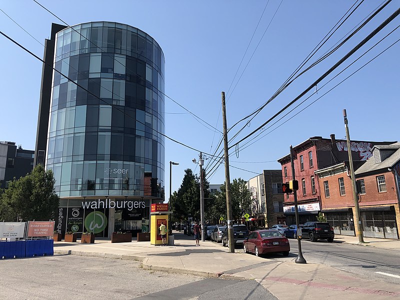
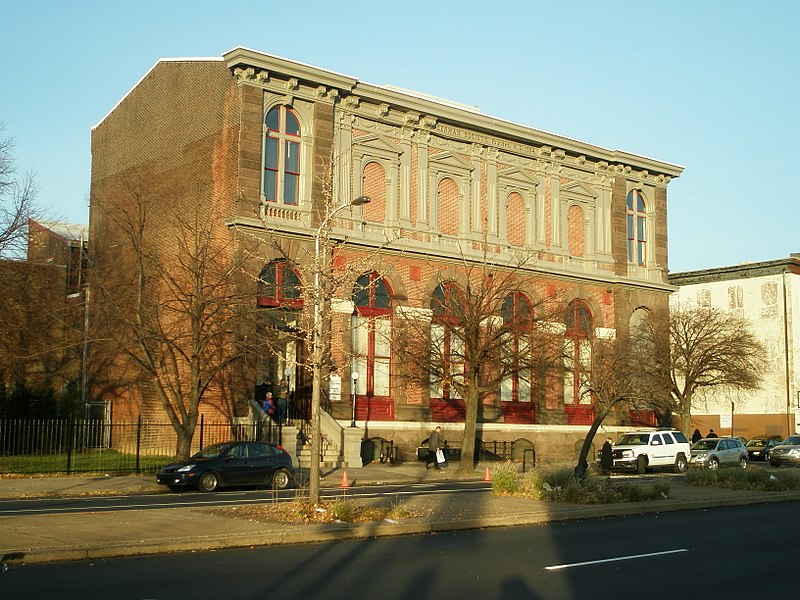
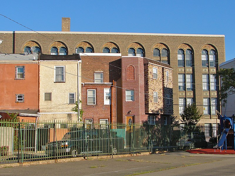
Northern Liberties is a neighborhood in Philadelphia, Pennsylvania, United States. Prior to its incorporation into Philadelphia in 1854, it was among the top 10 largest cities in the U.S. in every census from 1790 to 1850. ()
Architectural style: Renaissance revivalCoordinates: 39°57'54"N, 75°8'31"W
Address
Center City (Northern Liberties)Philadelphia
ContactAdd
Social media
Add
Day trips
Northern Liberties – popular in the area (distance from the attraction)
Nearby attractions include: Franklin Music Hall, Edgar Allan Poe National Historic Site, Benjamin Franklin Bridge, Arch Street Theatre.
Frequently Asked Questions (FAQ)
Which popular attractions are close to Northern Liberties?
Nearby attractions include St. John's Church, Philadelphia (5 min walk), Immaculate Conception Roman Catholic Church, Philadelphia (7 min walk), St. Andrew's Cathedral, Philadelphia (7 min walk), Olde Kensington, Philadelphia (8 min walk).
How to get to Northern Liberties by public transport?
The nearest stations to Northern Liberties:
Metro
Tram
Bus
Train
Metro
- Spring Garden • Lines: Mfl (9 min walk)
- Girard • Lines: Mfl (12 min walk)
Tram
- Girard Avenue & 3rd Street • Lines: 15 (9 min walk)
Bus
- FlixBus Philadelphia Market Street • Lines: 2602, 2680, N2610 (28 min walk)
- Greyhound Terminal (30 min walk)
Train
- Jefferson Station (31 min walk)
- Temple University (31 min walk)



 SEPTA Regional Rail