Palmer Cemetery, Philadelphia
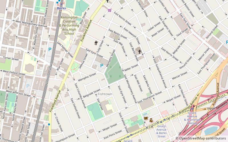
Map

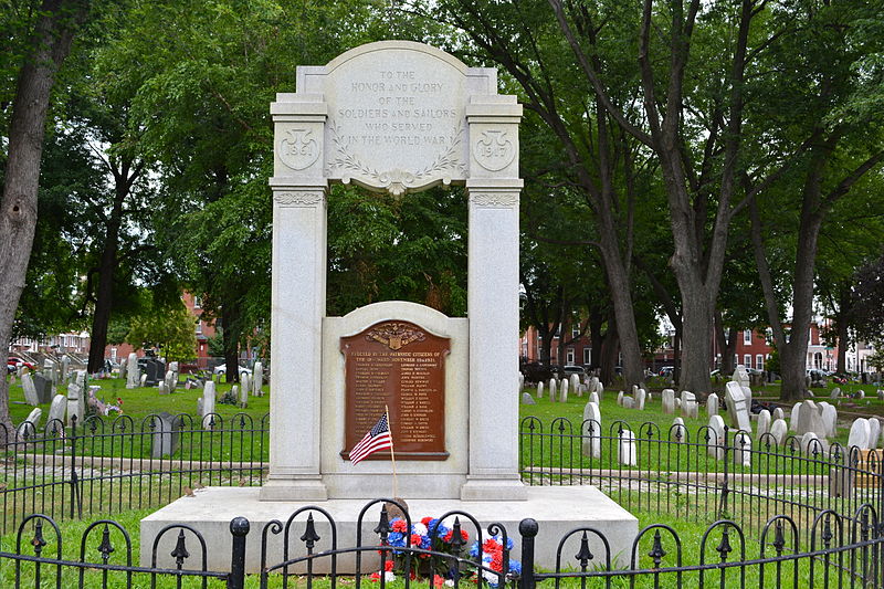
Gallery

Facts and practical information
Palmer Cemetery, originally known as the Kensington Burial Grounds, was founded in 1732 in the Fishtown section of Philadelphia. ()
Coordinates: 39°58'29"N, 75°7'47"W
Address
River Wards (Fishtown)Philadelphia
ContactAdd
Social media
Add
Day trips
Palmer Cemetery – popular in the area (distance from the attraction)
Nearby attractions include: Franklin Music Hall, St. Laurentius Parish, Penn Treaty Park, Northern Liberties.
Frequently Asked Questions (FAQ)
Which popular attractions are close to Palmer Cemetery?
Nearby attractions include St. Laurentius Parish, Philadelphia (4 min walk), Penn Treaty School, Philadelphia (5 min walk), 2424 Studios, Philadelphia (9 min walk), George Chandler School, Philadelphia (10 min walk).
How to get to Palmer Cemetery by public transport?
The nearest stations to Palmer Cemetery:
Metro
Tram
Train
Metro
- Berks • Lines: Mfl (9 min walk)
- Girard • Lines: Mfl (15 min walk)
Tram
- Frankford Avenue & Girard Avenue • Lines: 15 (13 min walk)
- Girard Avenue & 2nd Street • Lines: 15 (17 min walk)
Train
- Temple University (30 min walk)

 SEPTA Regional Rail


