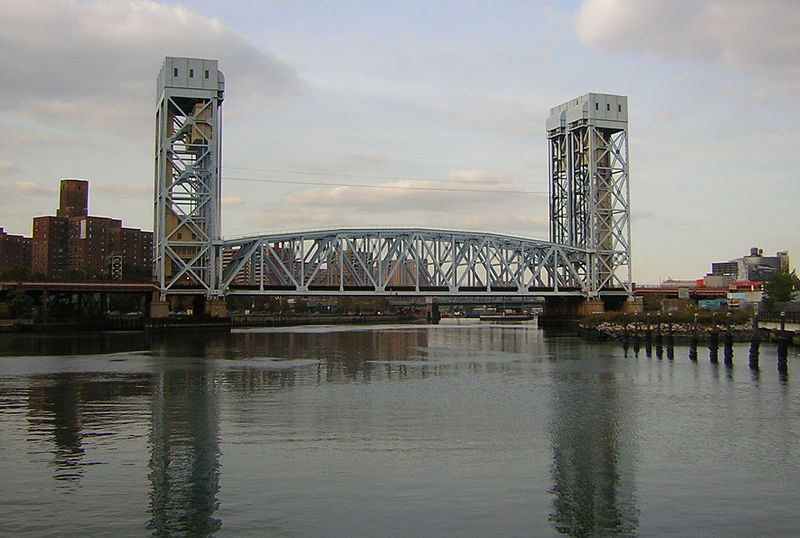
Harlem River Lift Bridge, New York City
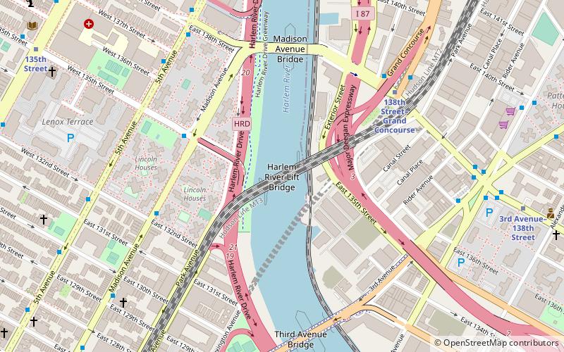
Map
Gallery
Facts and practical information
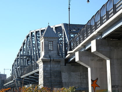
The Harlem River Lift Bridge is a vertical lift bridge carrying the Metro-North Railroad's Hudson Line, Harlem Line, and New Haven Line across the Harlem River between the boroughs of Manhattan and the Bronx in New York City. The average weekday ridership on the lines is 265,000. ()
Day trips
Harlem River Lift Bridge – popular in the area (distance from the attraction)
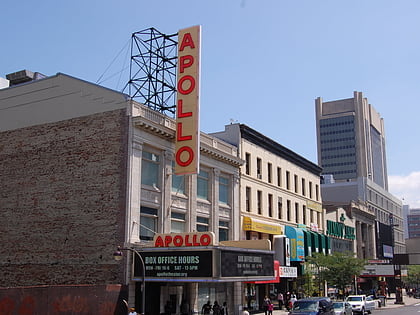
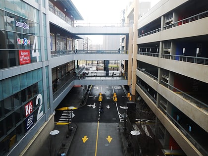
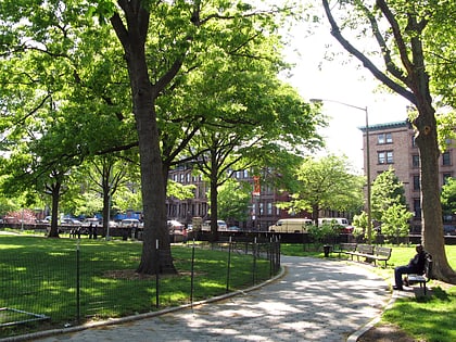
Nearby attractions include: Apollo Theater, Bronx Terminal Market, Marcus Garvey Park, Madison Avenue Bridge.
Frequently Asked Questions (FAQ)
Which popular attractions are close to Harlem River Lift Bridge?
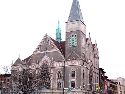
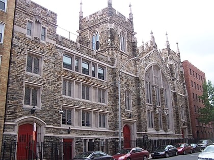
Nearby attractions include Madison Avenue Bridge, New York City (6 min walk), Third Avenue Bridge, New York City (7 min walk), St. Mark the Evangelist Church, New York City (11 min walk), St. Jerome's Church, New York City (12 min walk).
How to get to Harlem River Lift Bridge by public transport?
The nearest stations to Harlem River Lift Bridge:
Metro
Train
Bus
Metro
- 138th Street–Grand Concourse • Lines: 4, 5 (7 min walk)
- 3rd Avenue–138th Street • Lines: <6>, 6 (10 min walk)
Train
- Harlem–125th Street (13 min walk)
- Yankees–East 153rd Street (26 min walk)
Bus
- East 125th Street & Park Avenue • Lines: M60 Sbs (14 min walk)
- East 126th Street & 2nd Avenue • Lines: M15, M15-Sbs (15 min walk)

 Subway
 Manhattan Buses