DocuSign Tower, Seattle
Map
Map

Facts and practical information
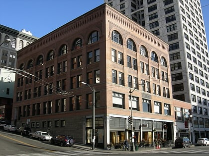
DocuSign Tower, previously the Wells Fargo Center, is a skyscraper in Seattle, in the U.S. state of Washington. Originally named First Interstate Center when completed in 1983, the 47-story, 574-foot tower is now the ninth-tallest building in the city, and has 24 elevators and 941,000 square feet of rentable space. The design work was done by The McKinley Architects, and it was owned by Chicago-based EQ Office. ()
Address
999 3rd AveDowntown Seattle (Seattle Central Business District)Seattle
ContactAdd
Social media
Day trips
DocuSign Tower – popular in the area (distance from the attraction)
Nearby attractions include: Collins Pub, Alaskan Way Viaduct, Benaroya Hall, ACT Theatre.
Frequently Asked Questions (FAQ)
Which popular attractions are close to DocuSign Tower?
Nearby attractions include The Net, Seattle (2 min walk), Exchange Building, Seattle (2 min walk), Great Northern Tunnel, Seattle (3 min walk), Three Piece Sculpture: Vertebrae, Seattle (3 min walk).
How to get to DocuSign Tower by public transport?
The nearest stations to DocuSign Tower:
Bus
Trolleybus
Light rail
Ferry
Tram
Train
Bus
- 3rd Ave & Marion St • Lines: 17, 18, 2, 40, 62 (1 min walk)
- 3rd Ave & Madison St • Lines: 113, 120, 121, 122, 123, 124, 131, 132, 16, 17, 18, 19, 21E, 24, 27, 28, 33, 37, 40, 5, 55, 56, 57, 62 (1 min walk)
Trolleybus
- 3rd Ave & Columbia St • Lines: 1, 13, 3, 4, 49 (3 min walk)
- Prefontaine Pl S & Yesler Way • Lines: 1, 13, 49 (9 min walk)
Light rail
- University Street • Lines: 1 (6 min walk)
- Pioneer Square • Lines: 1 (6 min walk)
Ferry
- Seattle • Lines: Seattle-Bremerton, Seattle-Winslow (9 min walk)
- Seattle Waterfront • Lines: Seattle-Blake Island (9 min walk)
Tram
- Occidental Mall • Lines: First Hill Streetcar (11 min walk)
- 5th & Jackson • Lines: First Hill Streetcar (14 min walk)
Train
- Westlake Center (13 min walk)
- Seattle King Street (14 min walk)

