Willamette Falls Locks, Oregon City

Gallery (2)
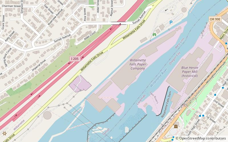
Map
Map
Gallery
Facts and practical information
The Willamette Falls Locks are a lock system on the Willamette River in the U.S. state of Oregon. Opened in 1873 and closed since 2011, they allowed boat traffic on the Willamette to navigate beyond Willamette Falls and the T.W. Sullivan Dam. Since their closure in 2011 the locks are classified to be in a "non-operational status" and are expected to remain permanently closed. ()
Coordinates: 45°21'18"N, 122°37'5"W
Address
West Lynn (Sunset)Oregon City
ContactAdd
Social media
Add
Getting there by public transportation
Public transportation stops near this location
- Bus
- Train
 Bus
Bus
- Calculate routeSouth 2nd & Tumwater 9 min walk
- Calculate route2nd & Tumwater 9 min walk
- Calculate route99E at J&M Auto Body 9 min walk
- Calculate routeSouth High & 1st 10 min walk
- Calculate routeOregon City 34 min walk
Day trips


Frequently Asked Questions (FAQ)
Which popular attractions are close to Willamette Falls Locks?
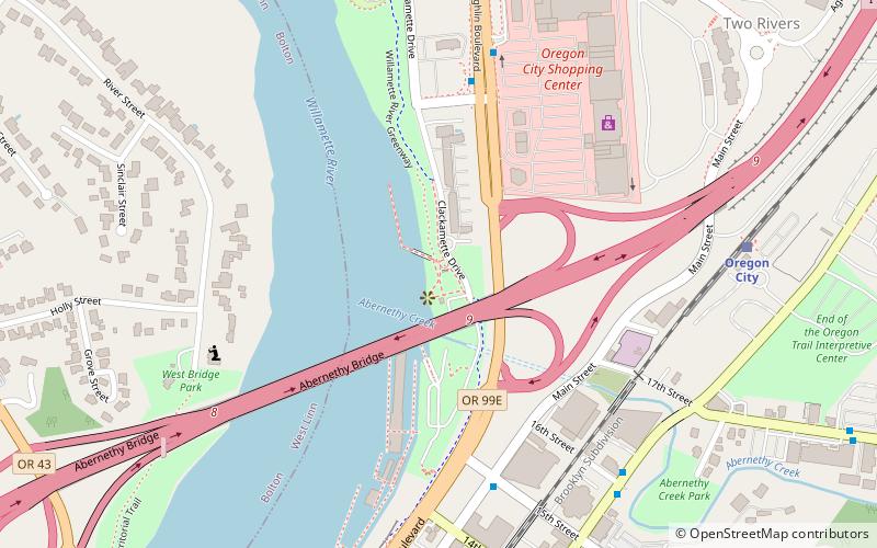
Nearby attractions include Willamette Falls, Oregon City (6 min walk), Clackamas County Historical Society, Oregon City (9 min walk), McLoughlin Promenade, Oregon City (10 min walk), James Milne House, Oregon City (12 min walk).
How to get to Willamette Falls Locks by public transport?
The nearest stations to Willamette Falls Locks:
Bus
Train
Bus
- South 2nd & Tumwater • Lines: 33 (9 min walk)
- 2nd & Tumwater • Lines: 33 (9 min walk)
Train
- Oregon City (34 min walk)