Oregon City Bridge, Oregon City
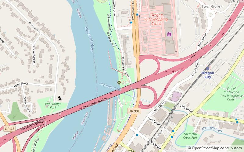
Map
Gallery
Facts and practical information
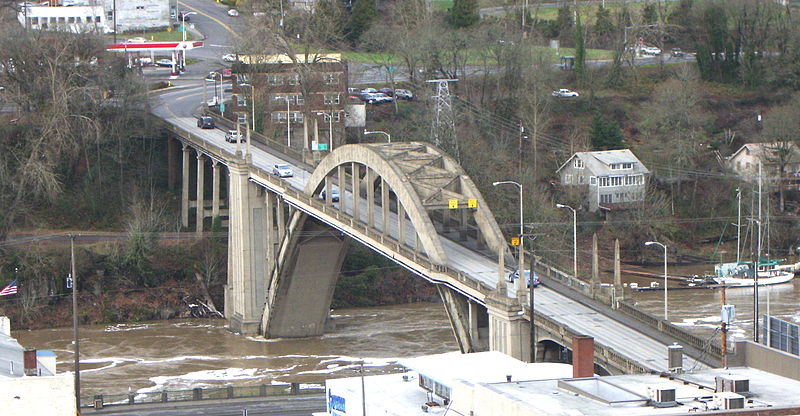
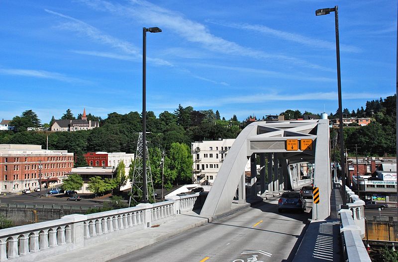
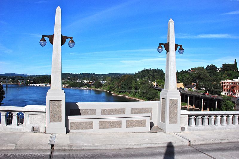
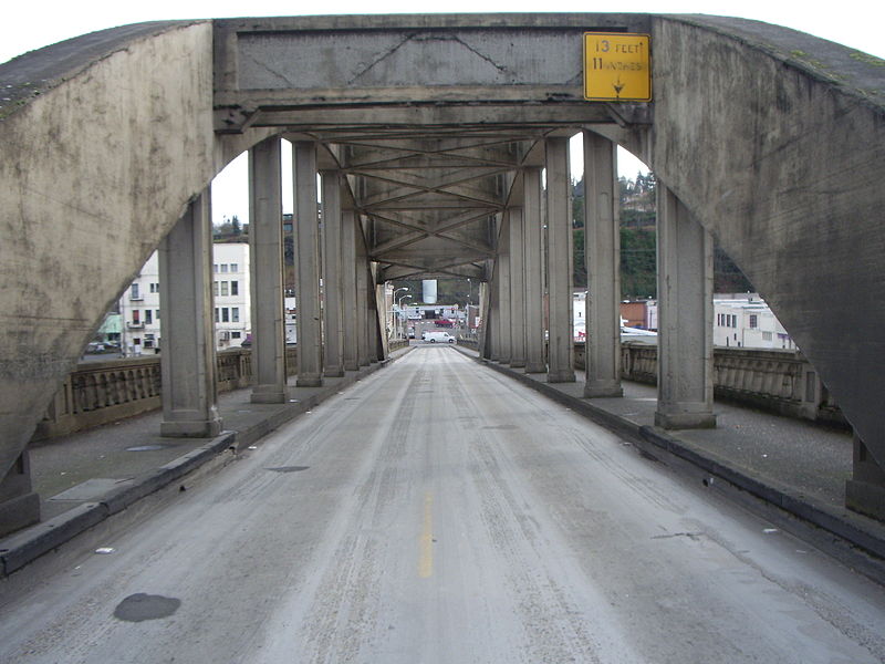
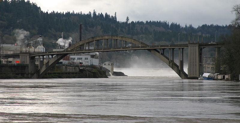
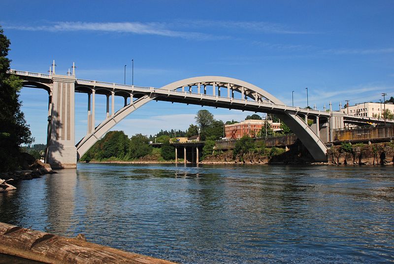
The Oregon City Bridge, also known as the Arch Bridge, is a steel through arch bridge spanning the Willamette River between Oregon City and West Linn, Oregon, United States. Completed in 1922, it is listed on the National Register of Historic Places. It was built and is owned by the Oregon Department of Transportation as part of Oregon Route 43 and is the third-southernmost Willamette bridge in the Portland metropolitan area, after the Boone Bridge in Wilsonville and the Oregon 219 bridge near Newberg. ()
Coordinates: 45°21'32"N, 122°36'36"W
Address
Oregon City
ContactAdd
Social media
Add
Day trips
Oregon City Bridge – popular in the area (distance from the attraction)
Nearby attractions include: Willamette Falls, McLoughlin Promenade, Clackamette Park, Willamette Falls Locks.
Frequently Asked Questions (FAQ)
Which popular attractions are close to Oregon City Bridge?
Nearby attractions include Oregon City Municipal Elevator, Oregon City (5 min walk), Moontrap, Oregon City (5 min walk), Fort Vancouver National Historic Site, Oregon City (6 min walk), McLoughlin Promenade, Oregon City (7 min walk).
How to get to Oregon City Bridge by public transport?
The nearest stations to Oregon City Bridge:
Bus
Train
Bus
- Main & 8th Street • Lines: 33 (4 min walk)
- Railroad & 7th • Lines: 33 (5 min walk)
Train
- Oregon City (22 min walk)


