End of the Oregon Trail Interpretive & Visitor Information Center, Oregon City

Facts and practical information
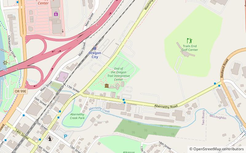
End of the Oregon Trail Interpretive & Visitor Information Center (address: 1726 Washington St) is a place located in Oregon City (Oregon state) and belongs to the category of park, relax in park, specialty museum.
It is situated at an altitude of 36 feet, and its geographical coordinates are 45°21'53"N latitude and 122°35'38"W longitude.
Planning a visit to this place, one can easily and conveniently get there by public transportation. End of the Oregon Trail Interpretive & Visitor Information Center is a short distance from the following public transport stations: 900 Block Abernethy (bus, 3 min walk), Oregon City (train, 4 min walk).
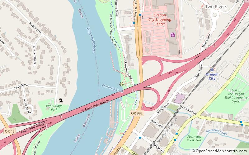
Among other places and attractions worth visiting in the area are: Jon Storm Park (park, 11 min walk), Abernethy Bridge (bridge, 13 min walk), Clackamette Park (park, 16 min walk).
1726 Washington StClackamette ParkOregon City 97045-1058
- Bus
- Train
 Bus
Bus
- Calculate route900 Block Abernethy 3 min walk
- Calculate routeWashington & 16th 7 min walk
- Calculate route16th & Jackson 8 min walk
- Calculate routeAbernethy & Redland Road 9 min walk
- Calculate routeOregon City 4 min walk
End of the Oregon Trail Interpretive & Visitor Information Center – popular in the area (distance from the attraction)
Nearby attractions include: Willamette Falls, McLoughlin Promenade, Clackamette Park, Oregon City Bridge.


Frequently Asked Questions (FAQ)
When is End of the Oregon Trail Interpretive & Visitor Information Center open?
- Monday 9:30 am - 5 pm
- Tuesday 9:30 am - 5 pm
- Wednesday 9:30 am - 5 pm
- Thursday 9:30 am - 5 pm
- Friday 9:30 am - 5 pm
- Saturday 9:30 am - 5 pm
- Sunday 10:30 am - 5 pm
Which popular attractions are close to End of the Oregon Trail Interpretive & Visitor Information Center?
How to get to End of the Oregon Trail Interpretive & Visitor Information Center by public transport?
Bus
- 900 Block Abernethy • Lines: 154 (3 min walk)
- Washington & 16th • Lines: 154, 79 (7 min walk)
Train
- Oregon City (4 min walk)