Dumbarton Bridge, Washington D.C.
Map
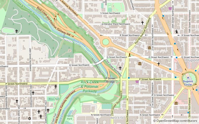
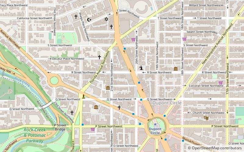
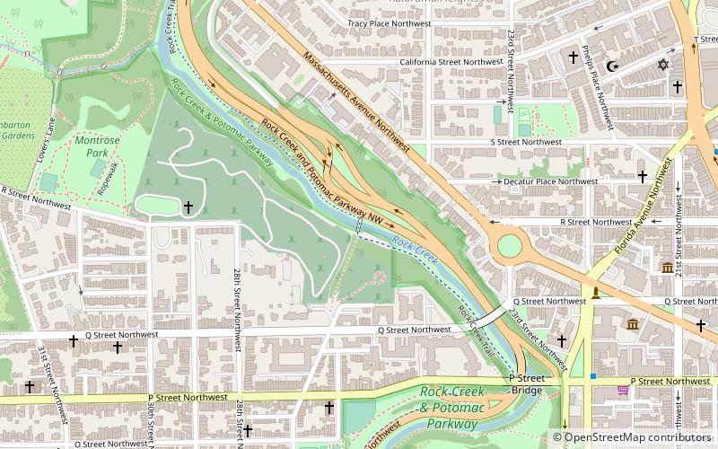
Map

Facts and practical information
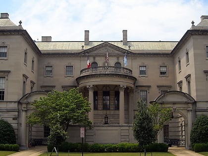
The Dumbarton Bridge, also known as the Q Street Bridge and the Buffalo Bridge, is a historic masonry arch bridge in Washington, D.C. ()
Built: 1915 (111 years ago)Architectural style: Romanesque revivalCoordinates: 38°54'39"N, 77°3'4"W
Address
Northwest Washington (Georgetown)Washington D.C.
ContactAdd
Social media
Add
Day trips
Dumbarton Bridge – popular in the area (distance from the attraction)
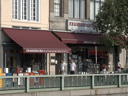
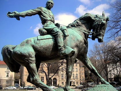
Nearby attractions include: Kramers, The Phillips Collection, Georgetown Park, Philip Sheridan.
Frequently Asked Questions (FAQ)
Which popular attractions are close to Dumbarton Bridge?
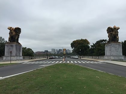
Nearby attractions include Edward Hamlin Everett House, Washington D.C. (2 min walk), Rock Creek and Potomac Parkway Bridge near P Street, Washington D.C. (2 min walk), Philip Sheridan, Washington D.C. (3 min walk), Church of the Pilgrims, Washington D.C. (3 min walk).
How to get to Dumbarton Bridge by public transport?
The nearest stations to Dumbarton Bridge:
Metro
Bus
Metro
- Dupont Circle • Lines: Rd (11 min walk)
- Foggy Bottom–GWU • Lines: Bl, Or, Sv (18 min walk)
Bus
- MTA Bus Stop • Lines: 305, 315 (19 min walk)
- 21st St & F St Northwest (25 min walk)

