Lyon's Mill Footbridge, Washington D.C.
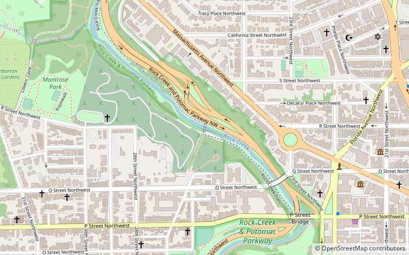
Map
Facts and practical information
The Lyon's Mill Footbridge, also called the Devil's Chair Footbridge, is a concrete footbridge across Rock Creek in Washington, DC. It was completed in 1934. The eastern abutment is a remnant of the original Lyon's Mill on the site. ()
Coordinates: 38°54'45"N, 77°3'15"W
Address
Northwest Washington (Georgetown)Washington D.C.
ContactAdd
Social media
Add
Getting there by public transportation
Public transportation stops near this location
- Metro
- Bus
 Metro
Metro
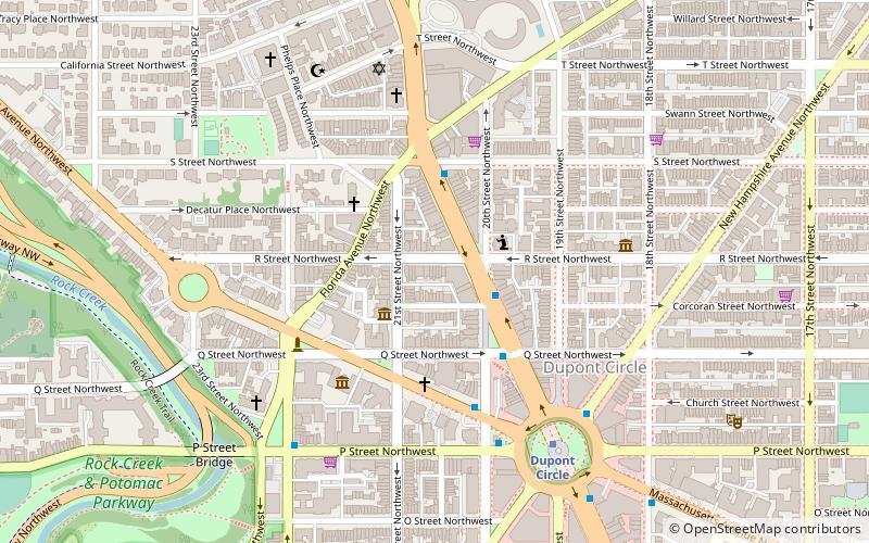
- Calculate routeDupont Circle 16 min walk
- Calculate routeFoggy Bottom–GWU 22 min walk
- Calculate routeMTA Bus Stop 24 min walk
- Calculate route21st St & F St Northwest 29 min walk
- Calculate route19th St & F St Northwest 31 min walk
- Calculate routeLee Hwy at N Nash St 35 min walk
Day trips


Frequently Asked Questions (FAQ)
Which popular attractions are close to Lyon's Mill Footbridge?
Nearby attractions include Van Ness Mausoleum, Washington D.C. (1 min walk), Mount Zion Cemetery, Washington D.C. (2 min walk), Rock Creek and Potomac Parkway, Washington D.C. (4 min walk), Evermay, Washington D.C. (4 min walk).
How to get to Lyon's Mill Footbridge by public transport?
The nearest stations to Lyon's Mill Footbridge:
Metro
Bus
Metro
- Dupont Circle • Lines: Rd (16 min walk)
- Foggy Bottom–GWU • Lines: Bl, Or, Sv (22 min walk)
Bus
- MTA Bus Stop • Lines: 305, 315 (24 min walk)
- 21st St & F St Northwest (29 min walk)