Rock Creek and Potomac Parkway, Washington D.C.
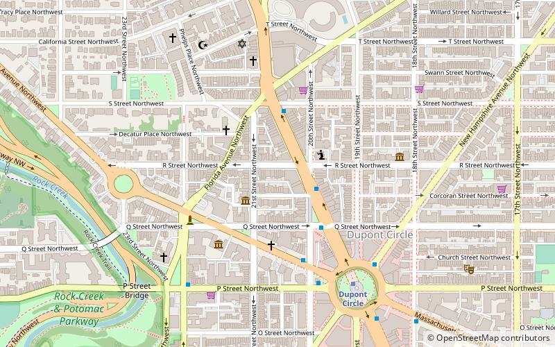
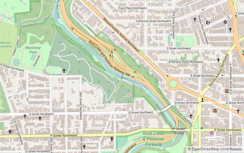
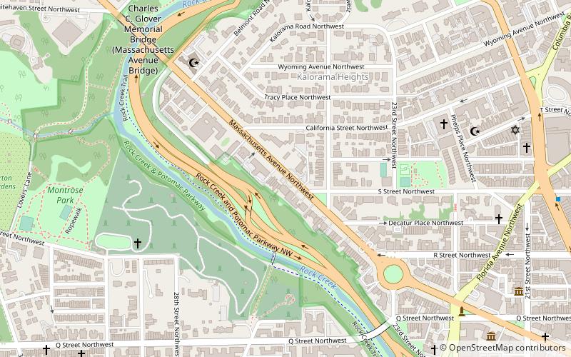
Map
Gallery
Facts and practical information
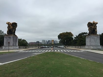
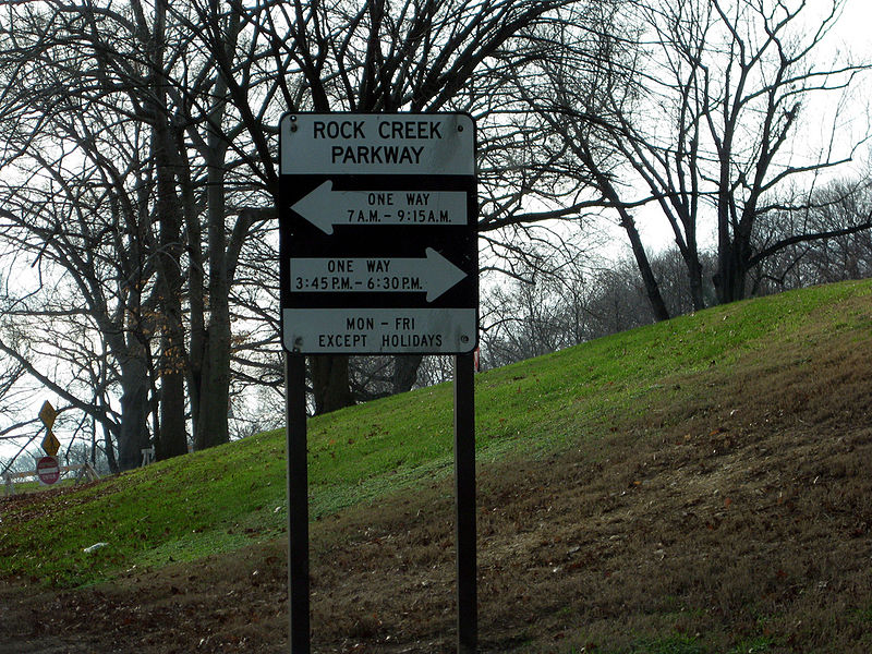
The Rock Creek and Potomac Parkway, informally called the Rock Creek Parkway, is a parkway maintained by the National Park Service as part of Rock Creek Park in Washington, D.C. It runs next to the Potomac River and Rock Creek in a generally north–south direction, carrying four lanes of traffic from the Lincoln Memorial and Arlington Memorial Bridge north to a junction with Beach Drive near Connecticut Avenue at Calvert Street, N.W. just south of the National Zoological Park. ()
Elevation: 85 ft a.s.l.Coordinates: 38°54'52"N, 77°3'14"W
Day trips
Rock Creek and Potomac Parkway – popular in the area (distance from the attraction)
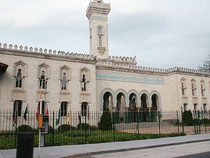
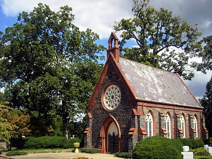
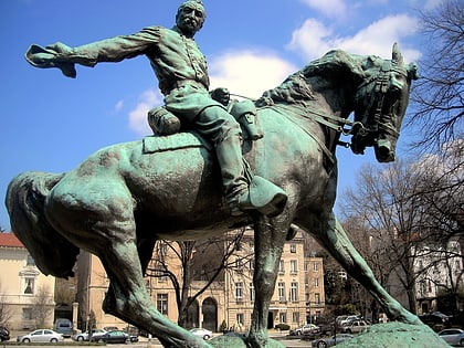
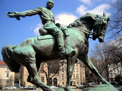
Nearby attractions include: Islamic Center of Washington, Oak Hill Cemetery, Philip Sheridan, Woodrow Wilson House.
Frequently Asked Questions (FAQ)
Which popular attractions are close to Rock Creek and Potomac Parkway?
Nearby attractions include Massachusetts Avenue, Washington D.C. (4 min walk), Textile Museum, Washington D.C. (4 min walk), Lyon's Mill Footbridge, Washington D.C. (4 min walk), Woodrow Wilson House, Washington D.C. (4 min walk).
How to get to Rock Creek and Potomac Parkway by public transport?
The nearest stations to Rock Creek and Potomac Parkway:
Metro
Bus
Metro
- Dupont Circle • Lines: Rd (17 min walk)
- Woodley Park • Lines: Rd (19 min walk)
Bus
- MTA Bus Stop • Lines: 305, 315 (26 min walk)
- Lee Hwy at N Nash St • Lines: 55 (38 min walk)
