Laurel Ridge State Park

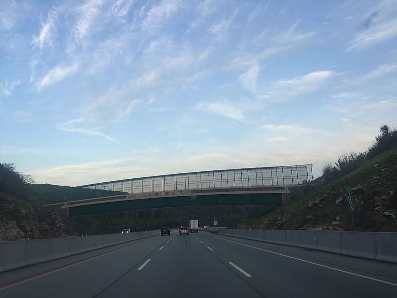
Gallery (4)
Map

Map
Gallery
Facts and practical information
Laurel Ridge State Park is a 13,625-acre Pennsylvania state park that passes through Cambria, Fayette, Somerset, and Westmoreland counties, Pennsylvania in the United States. ()
Established: 1967 (59 years ago)Elevation: 2625 ft a.s.l.Coordinates: 40°12'3"N, 79°8'2"W
Day trips