Laurel Mountain State Park, Dans Mountain State Park

Gallery (1)
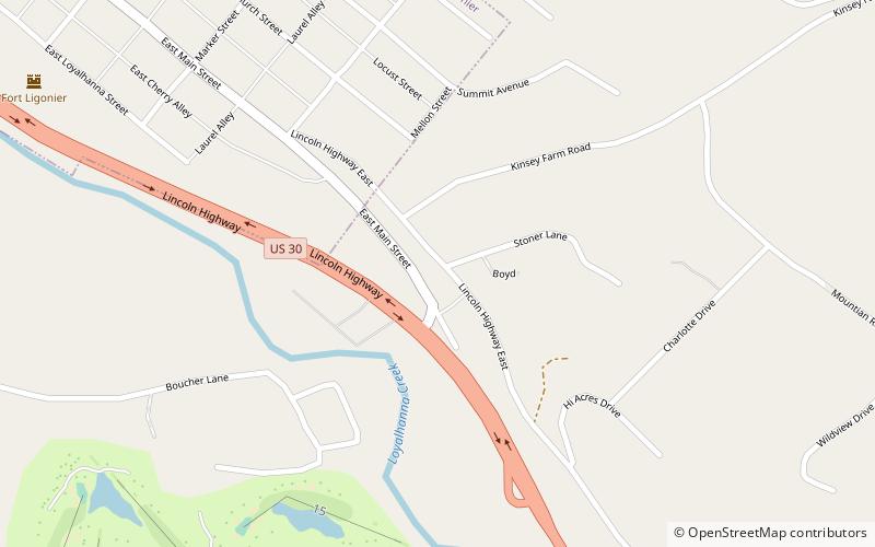
Map
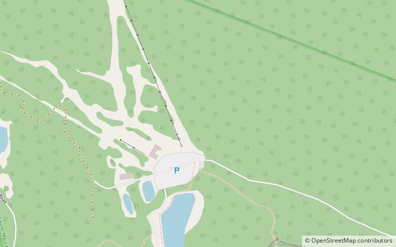
Map
Facts and practical information
Laurel Mountain State Park is a 493-acre Pennsylvania state park in Ligonier Township, Westmoreland County and Jenner Township, Somerset County, Pennsylvania in the United States. ()
Established: 1964 (62 years ago)Elevation: 2703 ft a.s.l.Coordinates: 40°9'54"N, 79°9'51"W
Day trips