Laurel Hill, Dans Mountain State Park
Map

Gallery

Facts and practical information
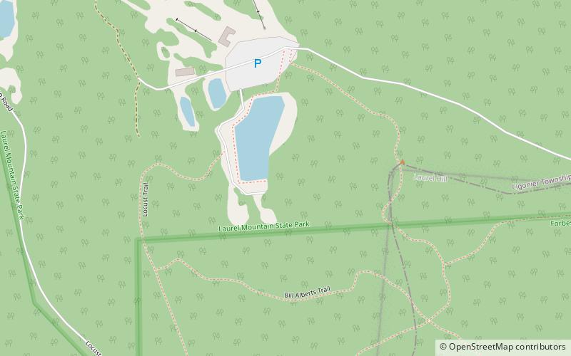
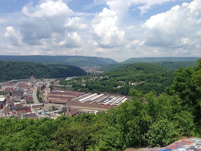
Laurel Hill, also known as Laurel Ridge or Laurel Mountain, is a 70-mile-long mountain in Pennsylvania's Allegheny Mountains. This ridge is flanked by Negro Mountain to its east and Chestnut Ridge to its west. The mountain is home to six state parks: Laurel Ridge State Park, Laurel Mountain State Park, Linn Run State Park, Kooser State Park, Laurel Hill State Park, and Ohiopyle State Park. The 70-mile-long Laurel Highlands Hiking Trail runs the length of the ridge. ()
Elevation: 2994 ftCoordinates: 40°9'39"N, 79°9'52"W
Address
Dans Mountain State Park
ContactAdd
Social media
Add
Day trips
Laurel Hill – popular in the area (distance from the attraction)
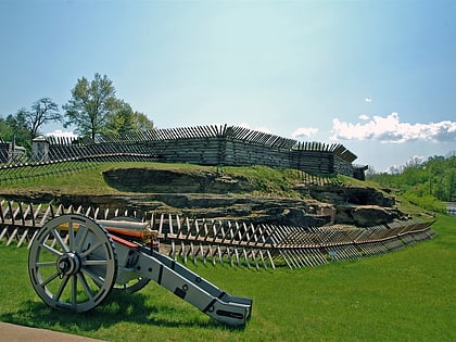
Nearby attractions include: Fort Ligonier, Laurel Mountain State Park, Laurel Ridge State Park, Ligonier Valley.


