Laurel Summit State Park
Map

Map

Facts and practical information
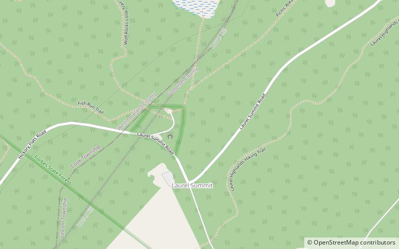
Laurel Summit State Park is a 6-acre Pennsylvania state park in Cook Township, Westmoreland County, Pennsylvania in the United States. It is also a picnic area with a scenic view of Linn Run on the summit of Laurel Mountain. The temperatures at Laurel Summit State Park are generally several degrees cooler than the surrounding towns in the valleys. The elevation of the park is 2,739 feet above sea level. ()
Established: 1964 (62 years ago)Elevation: 2713 ft a.s.l.Coordinates: 40°7'4"N, 79°10'30"W
Day trips
Laurel Summit State Park – popular in the area (distance from the attraction)
Nearby attractions include: Somerset Historical Center, Laurel Mountain State Park, Laurel Hill.


