Lovells Island, Boston
Map

Gallery

Facts and practical information
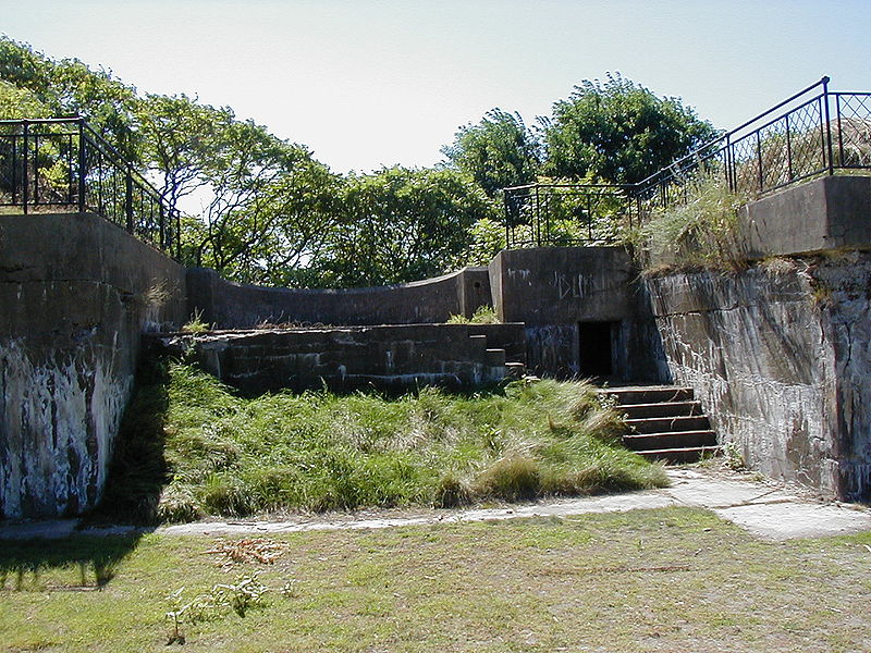
Lovells Island, or Lovell's Island, is a 62-acre island in the Boston Harbor Islands National Recreation Area, in Massachusetts. The island is across The Narrows from Georges Island and some 7 miles offshore of downtown Boston. It is named after Captain William Lovell, who was an early settler of nearby Dorchester. The island is known as the site of several shipwrecks, including the 74-gun French warship Magnifique in 1782. ()
Area: 119.85 acres (0.1873 mi²)Coordinates: 42°19'44"N, 70°55'41"W
Address
Lovell IslandBoston
ContactAdd
Social media
Add
Day trips
Lovells Island – popular in the area (distance from the attraction)
Nearby attractions include: Lovells Island, Fort Warren, Boston Harbor Islands, Gallops Island.
Frequently Asked Questions (FAQ)
Which popular attractions are close to Lovells Island?
Nearby attractions include Lovells Island, Boston (1 min walk), Fort Warren, Boston (16 min walk), Gallops Island, Boston (16 min walk), Georges Island, Boston (16 min walk).
How to get to Lovells Island by public transport?
The nearest stations to Lovells Island:
Ferry
Ferry
- Lovells Island Ferry Landing (5 min walk)

 MBTA Subway


