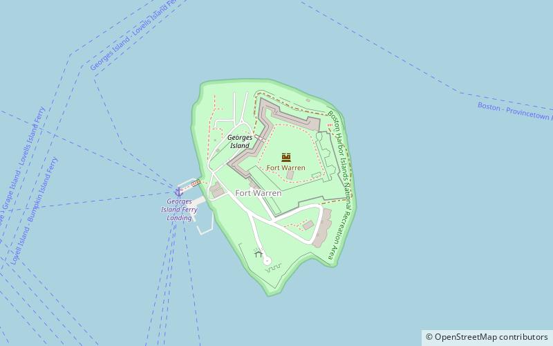
Georges Island, Boston
Map

Map

Facts and practical information
Georges Island is one of the islands in the Boston Harbor, situated just over 7 miles from downtown Boston. The island has a permanent size of 39 acres, plus an intertidal zone of a further 14 acres, and rises to a height of 50 feet above sea level. Historic Fort Warren is on the island. Because of this, and since a ferry operates from Boston to the island, it is a popular destination and one of the easiest islands to access in the Boston Harbor Islands National Recreation Area. ()
Area: 39.54 acres (0.0618 mi²)Elevation: 36 ft a.s.l.Coordinates: 42°19'12"N, 70°55'41"W
Address
Harbor Islands- Long IslandGeorges IslandBoston 02152
Contact
+1 617-727-7676
Social media
Add
Day trips
Georges Island – popular in the area (distance from the attraction)
Nearby attractions include: Lovells Island, Fort Revere Park, Fort Warren, Boston Harbor Islands.
Frequently Asked Questions (FAQ)
Which popular attractions are close to Georges Island?
Nearby attractions include Fort Warren, Boston (1 min walk), Georges Island, Boston (2 min walk), Lovells Island, Boston (16 min walk), Lovells Island, Boston (17 min walk).
How to get to Georges Island by public transport?
The nearest stations to Georges Island:
Ferry
Ferry
- Lovells Island Ferry Landing (12 min walk)

 MBTA Subway


