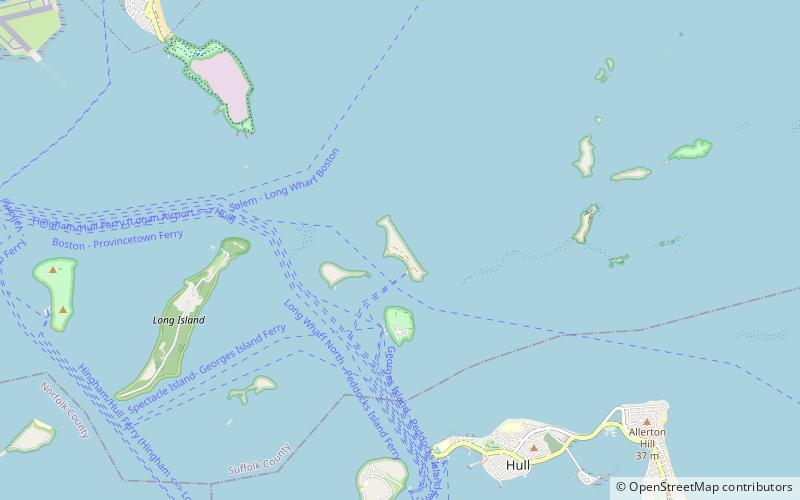
Lovells Island, Boston
Map

Map

Facts and practical information
The Lovells Island Range Lights were range lights on Lovells Island in Boston Harbor, Massachusetts. They were built in 1903 to help vessels coming into what is now called "South Channel". As the North Channel was dredged deeper, the South Channel was less used and they were removed in 1939 to make room for the expansion of Fort Standish. The oil shed from the lights remains today. ()
Coordinates: 42°19'46"N, 70°55'41"W
Day trips
Lovells Island – popular in the area (distance from the attraction)
Nearby attractions include: Fort Warren, Boston Harbor Islands, Gallops Island, Georges Island.
Frequently Asked Questions (FAQ)
Which popular attractions are close to Lovells Island?
Nearby attractions include Lovells Island, Boston (1 min walk), Gallops Island, Boston (17 min walk), Fort Warren, Boston (17 min walk), Georges Island, Boston (17 min walk).
How to get to Lovells Island by public transport?
The nearest stations to Lovells Island:
Ferry
Ferry
- Lovells Island Ferry Landing (6 min walk)

 MBTA Subway


