Wellesley Island State Park
Map
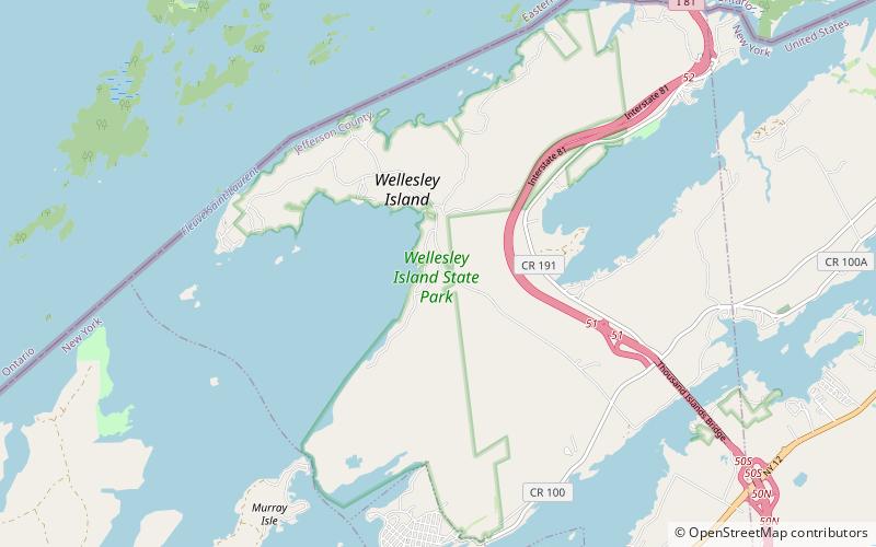
Map

Facts and practical information
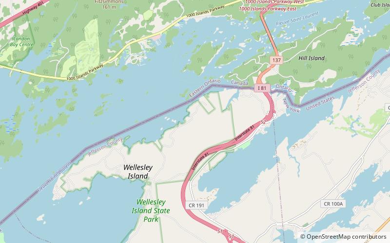
Wellesley Island State Park is a 2,636-acre state park located on Wellesley Island in the St. Lawrence River in the Town of Orleans in Jefferson County, New York. The park is divided into sections that are on different parts of the island. It has the largest camping complex in the Thousand Islands region, including wilderness campsites on the banks of the St. Lawrence accessible only by foot or boat. The park is open year-round. ()
Created: 1951Visitors per year: 204 thous.Elevation: 253 ft a.s.l.Coordinates: 44°18'60"N, 76°1'21"W
Day trips
Wellesley Island State Park – popular in the area (distance from the attraction)
Nearby attractions include: Boldt Castle, Cornwall Brothers' Store, Thousand Islands Bridge, Church of Saint Lawrence.


