23rd Street, Richmond
Map

Map

Facts and practical information
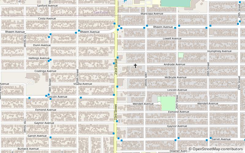
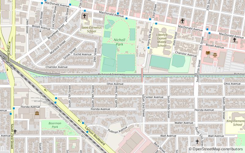
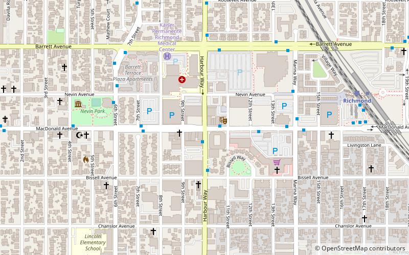
23rd Street is a major north-south trunk street in Richmond and San Pablo, California flanked by many Latino-oriented businesses. ()
Coordinates: 37°56'50"N, 122°20'49"W
Address
North and EastRichmond
ContactAdd
Social media
Add
Day trips
23rd Street – popular in the area (distance from the attraction)
Nearby attractions include: Benoit-Casper Brewing, San Pablo Lytton Casino, San Pablo, Macdonald 80 Shopping Center.
Frequently Asked Questions (FAQ)
Which popular attractions are close to 23rd Street?
Nearby attractions include Benoit-Casper Brewing, Richmond (18 min walk), San Pablo Lytton Casino, Richmond (21 min walk), Solano Playlot, Richmond (23 min walk).
How to get to 23rd Street by public transport?
The nearest stations to 23rd Street:
Bus
Metro
Train
Bus
- 23rd Street & Lincoln Avenue • Lines: 74 (2 min walk)
- 23rd Street & Gaynor Avenue • Lines: 70, 74 (5 min walk)
Metro
- Richmond • Lines: Orange, Red (21 min walk)
Train
- Richmond (21 min walk)


