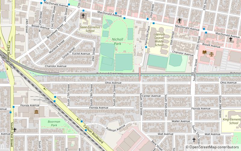
Richmond Greenway, Richmond
Map
Facts and practical information
The Richmond Greenway is a pedestrian and bicycle path in Richmond, California. ()
Coordinates: 37°55'53"N, 122°20'24"W
Address
Richmore Village-Metro SquareRichmond
ContactAdd
Social media
Add
Getting there by public transportation
Public transportation stops near this location
- Metro
- Bus
- Train
 Metro
Metro
- Calculate routeMacDonald Avenue & 31st Street 6 min walk
- Calculate routeCarlson Boulevard & Pullman Avenue 7 min walk
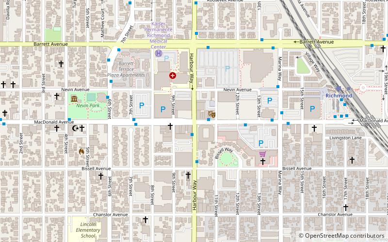
- Calculate routeRichmond 21 min walk
- Calculate routeRichmond 22 min walk
Day trips


Frequently Asked Questions (FAQ)
How to get to Richmond Greenway by public transport?
The nearest stations to Richmond Greenway:
Bus
Metro
Train
Bus
- MacDonald Avenue & 31st Street • Lines: 72M, 800 (6 min walk)
- Carlson Boulevard & Pullman Avenue • Lines: 71 (7 min walk)
Metro
- Richmond • Lines: Orange, Red (21 min walk)
Train
- Richmond (22 min walk)