State Theatre, Falls Church
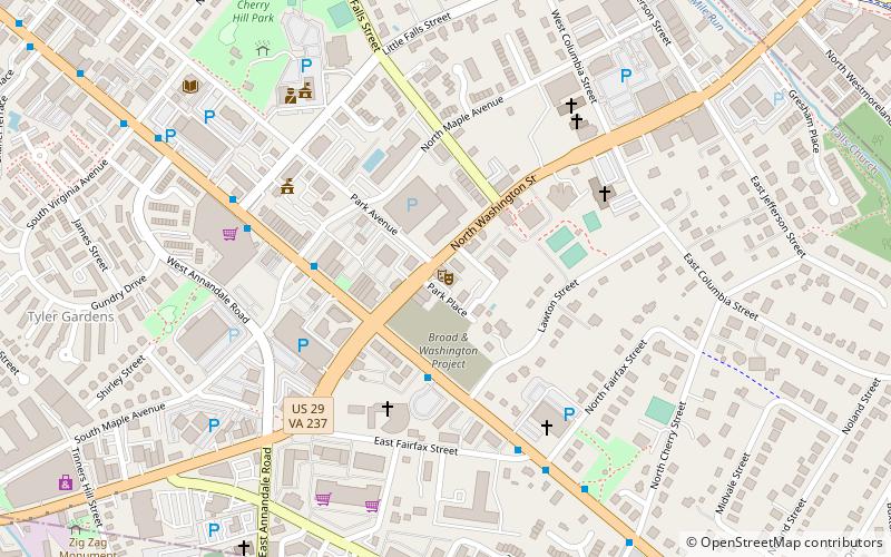
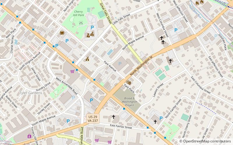
Map
Facts and practical information
The State Theatre is a restaurant and concert venue in Falls Church, Virginia. Built in 1936, the venue operated as a movie theater until 1988. The theatre reopened in 1999 as a events hall and music theatre. The closest Metro station is the East Falls Church Metro station. ()
Opened: 27 January 1936 (90 years ago)Capacity: 850Coordinates: 38°52'58"N, 77°10'11"W
Getting there by public transportation
Public transportation stops near this location
- Metro
- Bus
 Metro
Metro
- Calculate routeEast Falls Church 19 min walk
- Calculate routeEast Falls Church Metro 19 min walk
- Calculate route6001332 21 min walk
- Calculate routeN Sycamore St at Washington Blvd 21 min walk
Day trips
State Theatre – popular in the area (distance from the attraction)
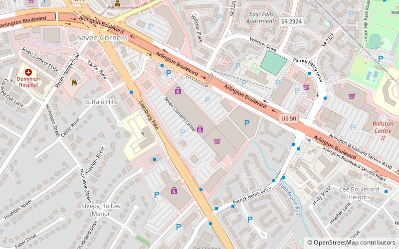
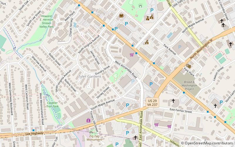
Nearby attractions include: Eden Center, Tinner Hill, Seven Corners Shopping Center, The Falls Church.


Frequently Asked Questions (FAQ)
Which popular attractions are close to State Theatre?
Nearby attractions include Cue Recording Studios, Falls Church (2 min walk), The Falls Church, Falls Church (4 min walk), Falls Church Farmers Market, Falls Church (6 min walk), Big Chimneys, Falls Church (8 min walk).
How to get to State Theatre by public transport?
The nearest stations to State Theatre:
Metro
Bus
Metro
- East Falls Church • Lines: Or, Sv (19 min walk)
Bus
- East Falls Church Metro • Lines: 15K, 26A, 2A, 3A, 3T, 3Y, 52, 53A, 53B, 55 (19 min walk)
- 6001332 • Lines: 26A, 3A (21 min walk)