The Falls Church, Falls Church
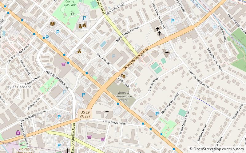
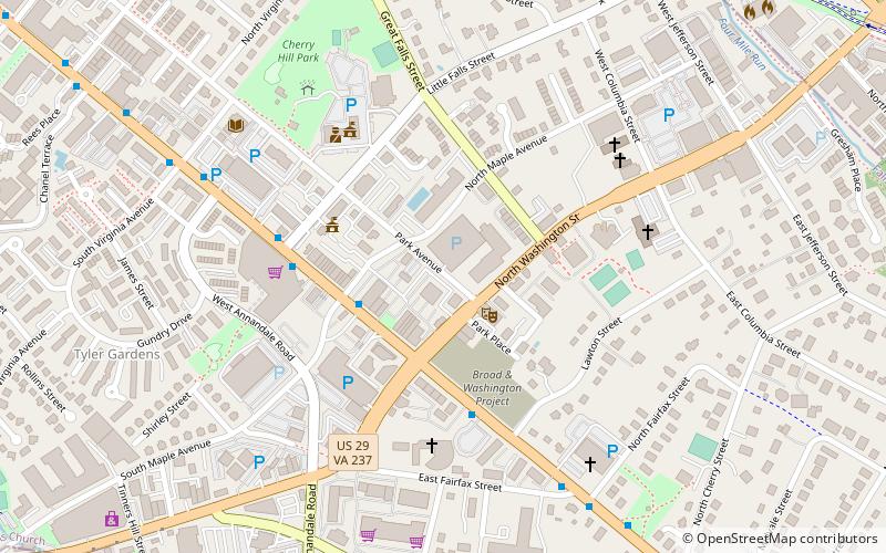
Map
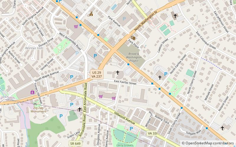
Gallery
Facts and practical information
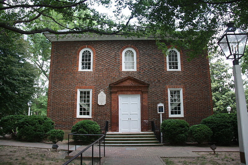
The Falls Church is an historic Episcopal church, from which the city of Falls Church, Virginia, near Washington, D. C. takes its name. The parish was established in 1732 and the brick church still in use today dates to 1769. ()
Built: 1767 (259 years ago)Coordinates: 38°52'51"N, 77°10'15"W
Address
115 E Fairfax StFalls ChurchFalls Church 22046
Contact
+1 703-241-0003
Social media
Add
Day trips
The Falls Church – popular in the area (distance from the attraction)
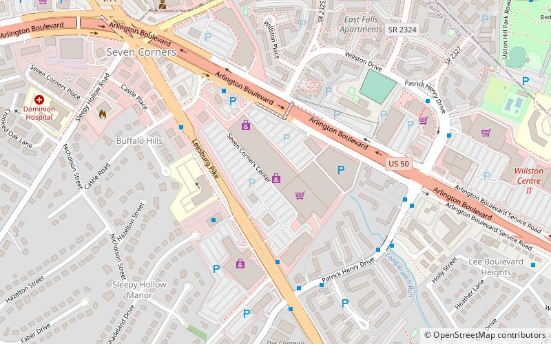
Nearby attractions include: Eden Center, Tinner Hill, Seven Corners Shopping Center, Falls Church Farmers Market.
Frequently Asked Questions (FAQ)
Which popular attractions are close to The Falls Church?
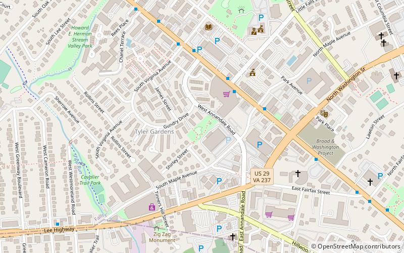
Nearby attractions include State Theatre, Falls Church (4 min walk), Cue Recording Studios, Falls Church (5 min walk), Birch House, Falls Church (6 min walk), Big Chimneys, Falls Church (7 min walk).
How to get to The Falls Church by public transport?
The nearest stations to The Falls Church:
Metro
Bus
Metro
- East Falls Church • Lines: Or, Sv (22 min walk)
Bus
- East Falls Church Metro • Lines: 15K, 26A, 2A, 3A, 3T, 3Y, 52, 53A, 53B, 55 (22 min walk)
- 6001332 • Lines: 26A, 3A (23 min walk)


