Tinner Hill, Falls Church
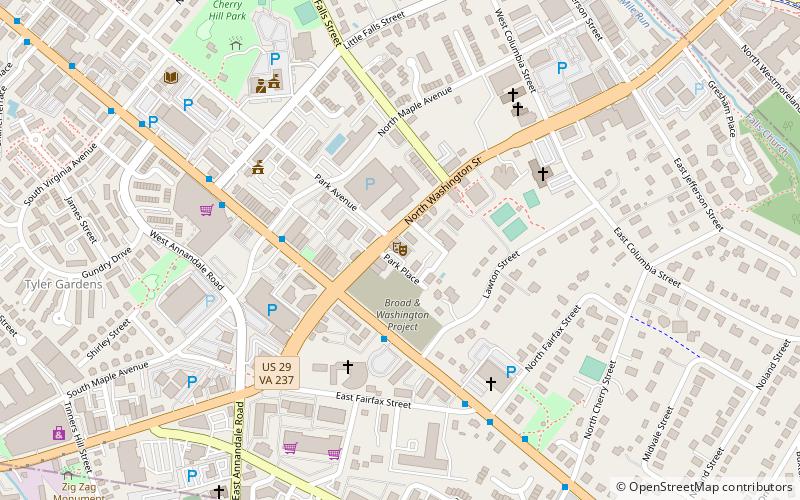
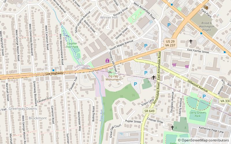
Map
Gallery
Facts and practical information
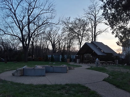
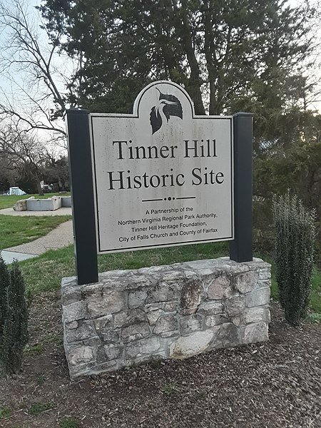
Tinner Hill is an historic area of Falls Church, Virginia, named after Charles and Mary Tinner, an African-American couple who bought land there in the late 19th century. Family members quarried stone used in many buildings nearby. Between 1910 and 1918, their descendant Joseph Tinner and Edwin Bancroft Henderson fought for civil rights and helped found the first rural branch of the National Association for the Advancement of Colored People. ()
Elevation: 295 ft a.s.l.Coordinates: 38°52'45"N, 77°10'35"W
Day trips
Tinner Hill – popular in the area (distance from the attraction)
Nearby attractions include: Eden Center, The Falls Church, Falls Church Farmers Market, State Theatre.
Frequently Asked Questions (FAQ)
Which popular attractions are close to Tinner Hill?
Nearby attractions include Big Chimneys, Falls Church (7 min walk), The Falls Church, Falls Church (9 min walk), Cue Recording Studios, Falls Church (12 min walk), State Theatre, Falls Church (12 min walk).
How to get to Tinner Hill by public transport?
The nearest stations to Tinner Hill:
Metro
Bus
Metro
- East Falls Church • Lines: Or, Sv (30 min walk)
Bus
- East Falls Church Metro • Lines: 15K, 26A, 2A, 3A, 3T, 3Y, 52, 53A, 53B, 55 (30 min walk)
- 6001332 • Lines: 26A, 3A (31 min walk)
