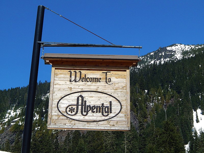
Alpental, Snoqualmie Pass

Gallery (4)
Map

Map
Gallery
Facts and practical information
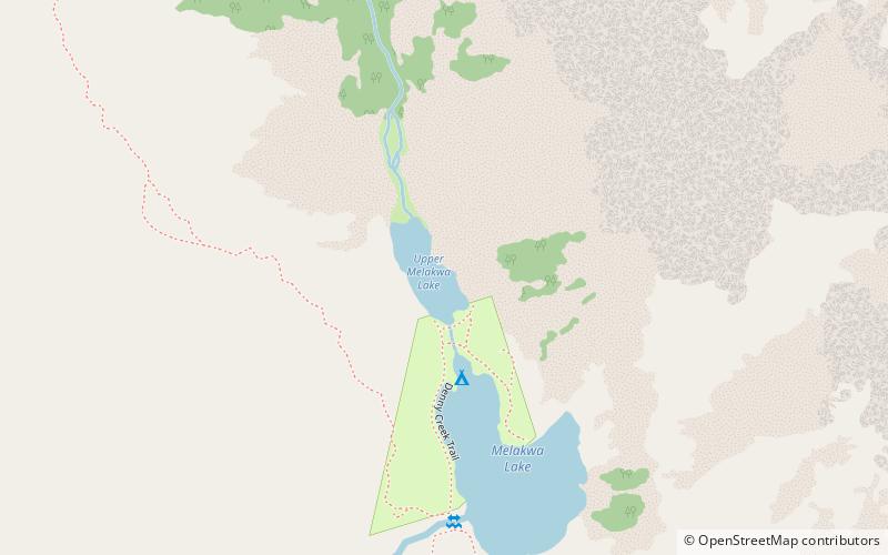
Alpental, named after the German word for alpine valley, is both a valley in eastern King County, Washington, United States and a ski area in the valley. The valley is about 50 miles east of Seattle, Washington and is north of Snoqualmie Pass, in the Washington Cascades. It is a popular outdoor recreation destination in both the summer and winter. The ski area is one of four areas which make up The Summit at Snoqualmie. ()
Coordinates: 47°26'23"N, 121°26'2"W
Day trips