Kendall Katwalk, Snoqualmie Pass

Gallery (1)
Map
Map
Facts and practical information
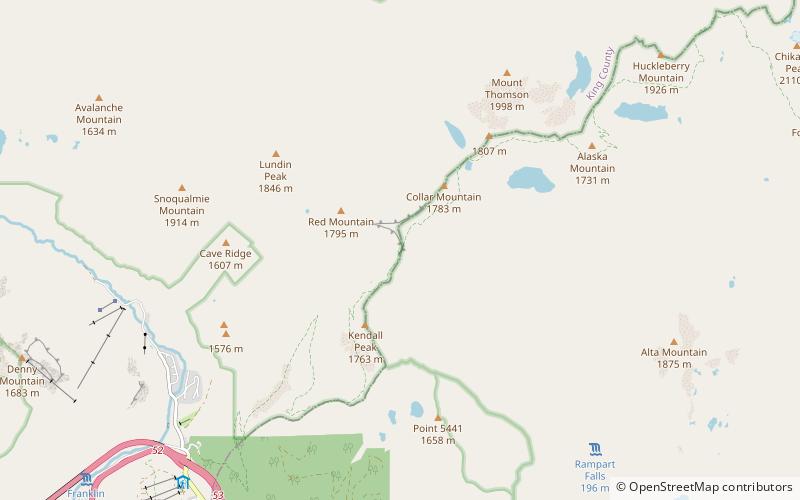
Kendall Katwalk is a 150 yard long narrow pathway blasted out of a steeply sloped granite rock face on the north ridge of Kendall Peak approximately 6 miles northeast of Snoqualmie Pass. It is a segment of Section J of Pacific Crest Trail and the construction was completed in 1979. It is a popular destination for day hikers, trail runners, and backpackers. ()
Length: 450 ftMaximum elevation: 5440 ftMinimal elevation: 5440 ftSeason: June - OctoberCoordinates: 47°27'6"N, 121°22'44"W
Address
Snoqualmie Pass
Contact
+1 425-783-6000
Social media
Add
Day trips


