Snoqualmie Mountain, Alpine Lakes Wilderness
Map

Gallery

Facts and practical information
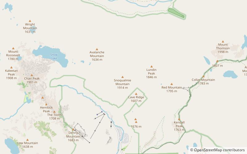
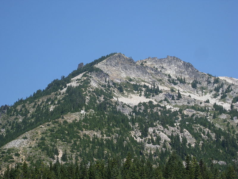
Snoqualmie Mountain is the tallest peak in the immediate vicinity of Snoqualmie Pass in the North Cascade Range of Washington state, U.S. Its shape is often described as "amorphous" or "blob-like", although it does display a steep north face dropping down to the Middle Fork of the Snoqualmie River. The boundary of the Alpine Lakes Wilderness crosses the summit of Snoqualmie Mountain. ()
Elevation: 6278 ftProminence: 998 ftCoordinates: 47°27'32"N, 121°24'58"W
Address
Alpine Lakes Wilderness
ContactAdd
Social media
Add
Day trips
Snoqualmie Mountain – popular in the area (distance from the attraction)
Nearby attractions include: Alpental, Franklin Falls, Kendall Katwalk, Granite Mountain.
Frequently Asked Questions (FAQ)
How to get to Snoqualmie Mountain by public transport?
The nearest stations to Snoqualmie Mountain:
Bus
Bus
- Alpental Shuttle Stop • Lines: Inter-Summit Shuttle (28 min walk)


