Babcock House, Charlestown
#9 among attractions in Charlestown

Facts and practical information
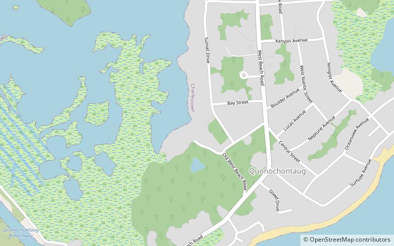
The Babcock House is a historic house also known as Whistling Chimneys, located on Main Street in the Quonochontaug section of Charlestown, Rhode Island. ()
Charlestown United States
Charlestown plan & book
Unleash the traveler in you — discover the cheapest flight deals, find the perfect hotel or hostel nearby, and search for the best car rental prices. Travel at your own pace to discover new places and enjoy your journey.
Babcock House – popular in the area (distance from the attraction)
Nearby attractions include: Bradford, Frosty Drew Observatory, Ninigret Pond, Fort Ninigret.
 Locality
Bradford
121 min walk • Bradford is a census-designated place and historic district in the towns of Westerly and Hopkinton in Washington County, Rhode Island, United States. The population was 1,406 at the 2010 census.
 Museum, Observatories and planetariums
Frosty Drew Observatory, Charlestown
83 min walk • Frosty Drew Observatory is an educational astronomical observatory owned and operated by the Frosty Drew Memorial Fund. It is located in the Ninigret National Wildlife Refuge in Charlestown, Rhode Island midway along the coast line between Westerly and Point Judith. It is named after Edwin "Frosty" Drew.
 Nature, Natural attraction, Lake
Ninigret Pond, Charlestown
113 min walk • Ninigret is a coastal lagoon in Charlestown, Rhode Island, in the United States, located at 41°22′45″N 71°38′43″W. It is the largest of the nine lagoons, or "salt ponds", in southern Rhode Island.
 Forts and castles
Fort Ninigret, Charlestown
115 min walk • Fort Ninigret is a historic fort and trading post site at Fort Neck Road in Charlestown, Rhode Island, built and occupied by European settlers in the seventeenth century.
 National park
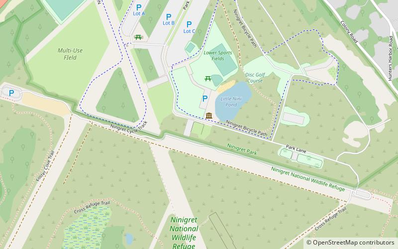
Ninigret National Wildlife Refuge
44 min walk • The Ninigret National Wildlife Refuge is a National Wildlife Refuge situated along the shore of Ninigret Pond. It is characterized by salt marshes, kettle ponds, freshwater wetlands, maritime shrub lands, and forests, and it is seasonally inhabited by over 250 species of birds.
 Nature, Natural attraction, Protected area
Ell Pond
133 min walk • Ell Pond is a kettle hole in Hopkinton, Washington County, Rhode Island. It is surrounded by a swamp of red maple and Atlantic white cypress, and by steep granitic monadnocks. The small area contains communities of both hydrophytic and xeric plants, which makes it ideal for ecological research and education.
 Nature, Natural attraction, Protected area
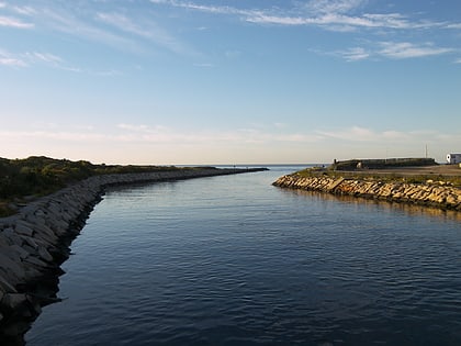
Charlestown Breachway State Beach
102 min walk • Charlestown Breachway State Beach is a seaside public recreation area on Block Island Sound in the town of Charlestown, Rhode Island.
 Neighbourhood
Main Street Historic District, Westerly
140 min walk • The Main Street Historic District of Westerly, Rhode Island, encompasses a predominantly residential section of Main Street and adjoining Maple Avenue and School Street.

 Nature, Natural attraction, Lake
Winnapaug Pond, Westerly
100 min walk • Winnapaug Pond is a breached saltwater lagoon in Westerly, Rhode Island, United States, connected to Block Island Sound by the Weekapaug Breachway, which was constructed during the mid-1950s.
 Locality
Burlingame State Park
84 min walk • Burlingame State Park and Campground is a public recreation area located in the town of Charlestown, Rhode Island. The state park's 3,100 acres offer camping, hiking, and water activities on Watchaug Pond.


