Barton Coliseum, Little Rock
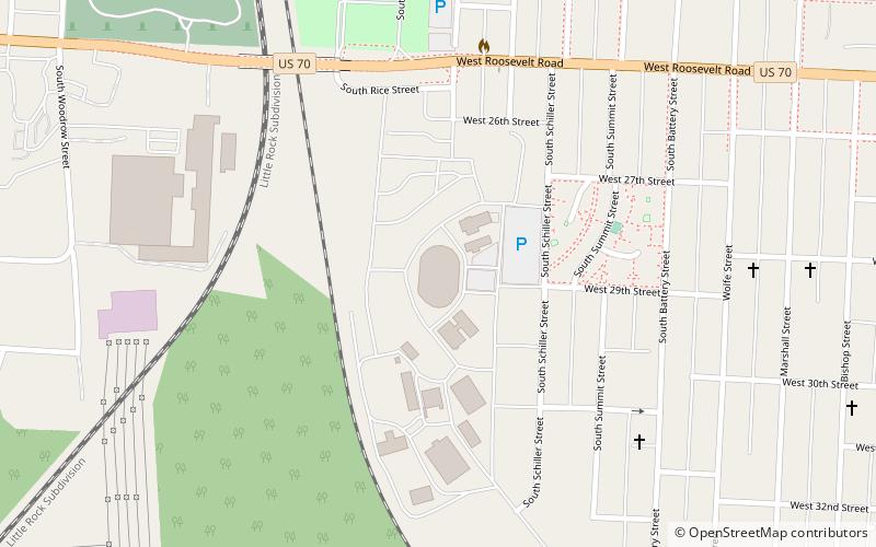
Map
Facts and practical information
Barton Coliseum is a 7,150-seat multi-purpose arena located within the Arkansas State Fairgrounds in Little Rock, Arkansas. The coliseum was dedicated on September 29, 1952, in honor of Thomas Harry Barton, founder of Lion Oil. ()
Opened: 1952 (74 years ago)Capacity: 7150Coordinates: 34°43'18"N, 92°17'57"W
Day trips
Barton Coliseum – popular in the area (distance from the attraction)
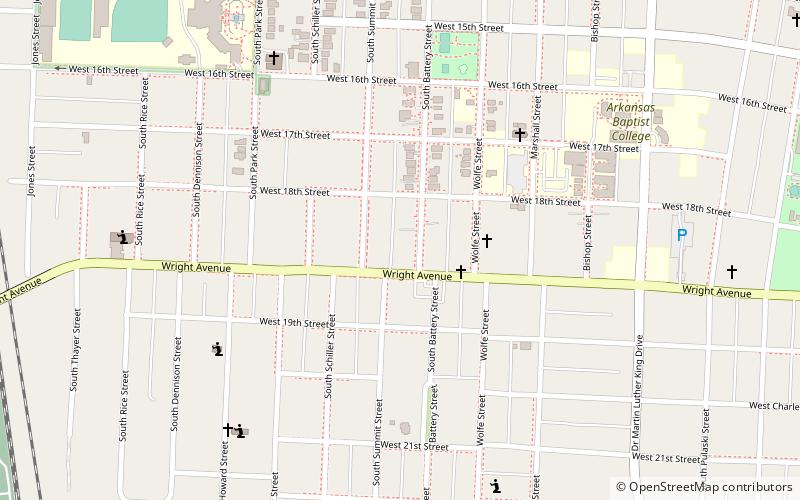
Nearby attractions include: Central High School Neighborhood Historic District, Maxwell F. Mayer House, St. Peter's Rock Baptist Church, Paul Laurence Dunbar School Neighborhood Historic District.


Frequently Asked Questions (FAQ)
Which popular attractions are close to Barton Coliseum?
Nearby attractions include Maxwell F. Mayer House, Little Rock (16 min walk), Roselawn Memorial Park Gatehouse, Little Rock (18 min walk), Central High School Neighborhood Historic District, Little Rock (21 min walk), Paul Laurence Dunbar School Neighborhood Historic District, Little Rock (24 min walk).