Quigley Stadium, Little Rock
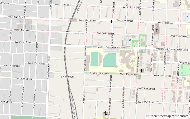
Map

Map

Facts and practical information
Quigley Stadium is a football stadium used by Little Rock Central High School. Prior to its 1930s remodeling, the area was known as Kavanaugh Field and was the home field of the Little Rock Travelers baseball team. ()
Opened: 1936 (90 years ago)Coordinates: 34°44'13"N, 92°18'6"W
Address
Central HighLittle Rock
ContactAdd
Social media
Add
Day trips
Quigley Stadium – popular in the area (distance from the attraction)
Nearby attractions include: Ten Commandments Monument, Central High School Neighborhood Historic District, Arkansas Fallen Firefighters' Memorial, Maxwell F. Mayer House.
Frequently Asked Questions (FAQ)
Which popular attractions are close to Quigley Stadium?
Nearby attractions include Roselawn Memorial Park Gatehouse, Little Rock (12 min walk), Central High School Neighborhood Historic District, Little Rock (13 min walk), Associate Reformed Presbyterian Church, Little Rock (15 min walk), Maxwell F. Mayer House, Little Rock (17 min walk).
How to get to Quigley Stadium by public transport?
The nearest stations to Quigley Stadium:
Train
Train
- Little Rock (32 min walk)


