Bayfront, Jersey City
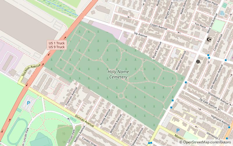
Map

Gallery

Facts and practical information
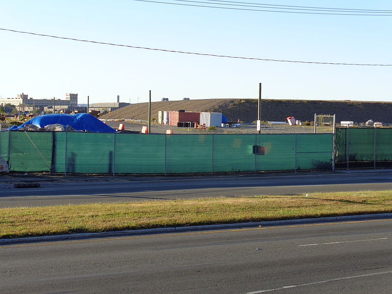
Bayfront is an urban redevelopment project in Jersey City, New Jersey. ()
Coordinates: 40°43'1"N, 74°5'60"W
Address
West SideJersey City
ContactAdd
Social media
Add
Day trips
Bayfront – popular in the area (distance from the attraction)
Nearby attractions include: Temple Beth-El, Lincoln Highway Passaic River Bridge, Lincoln Highway, Lincoln Park.
Frequently Asked Questions (FAQ)
Which popular attractions are close to Bayfront?
Nearby attractions include Newark and New York Railroad, Newark (7 min walk), Droyer's Point, Jersey City (14 min walk), St. Mark Coptic Orthodox Church, Jersey City (18 min walk), Lincoln Highway, Newark (20 min walk).
How to get to Bayfront by public transport?
The nearest stations to Bayfront:
Light rail
Bus
Light rail
- West Side Avenue • Lines: Hblr (18 min walk)
Bus
- Society Hill • Lines: Ac30 (20 min walk)
- JFK Boulevard at McAdoo Avenue • Lines: 10, 119 (29 min walk)


