Droyer's Point, Jersey City
Map

Gallery

Facts and practical information
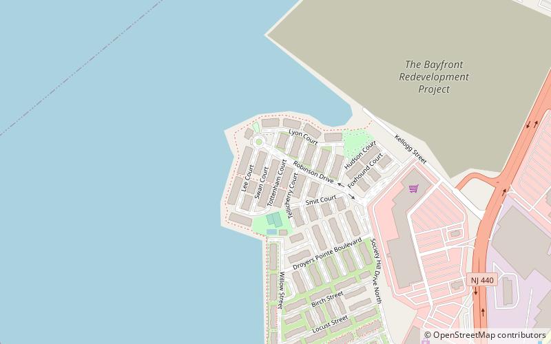
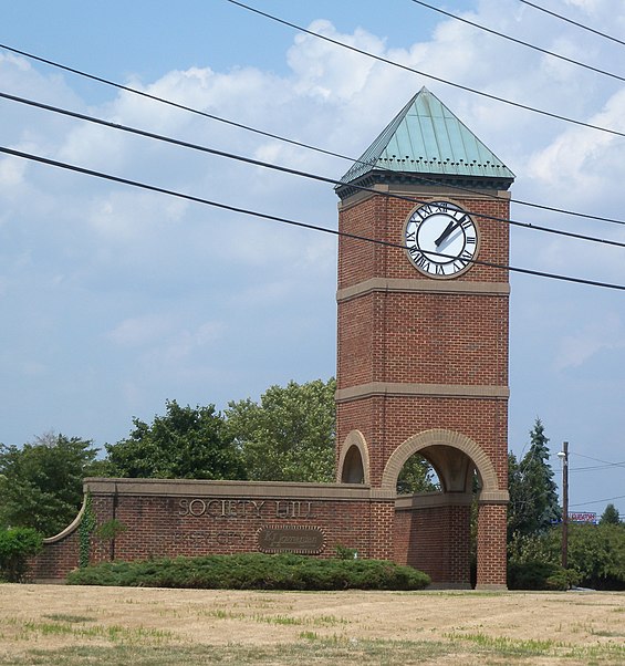
Droyer's Point is a section of Jersey City, New Jersey at Newark Bay that was the site of the Jersey City Airport and later of Roosevelt Stadium, both of which were demolished. It has become a residential and commercial district. ()
Coordinates: 40°42'40"N, 74°6'22"W
Address
West SideJersey City
ContactAdd
Social media
Add
Day trips
Droyer's Point – popular in the area (distance from the attraction)
Nearby attractions include: Lincoln Highway, Lincoln Park, Bayview – New York Bay Cemetery, St. Mark Coptic Orthodox Church.
Frequently Asked Questions (FAQ)
Which popular attractions are close to Droyer's Point?
Nearby attractions include Bayfront, Jersey City (14 min walk), Newark and New York Railroad, Newark (14 min walk), Country Village, Jersey City (22 min walk).
How to get to Droyer's Point by public transport?
The nearest stations to Droyer's Point:
Bus
Light rail
Bus
- Society Hill • Lines: Ac30 (13 min walk)
- JFK Boulevard at McAdoo Avenue • Lines: 10, 119 (25 min walk)
Light rail
- West Side Avenue • Lines: Hblr (26 min walk)


