Newark and New York Railroad, Newark
Map

Gallery

Facts and practical information
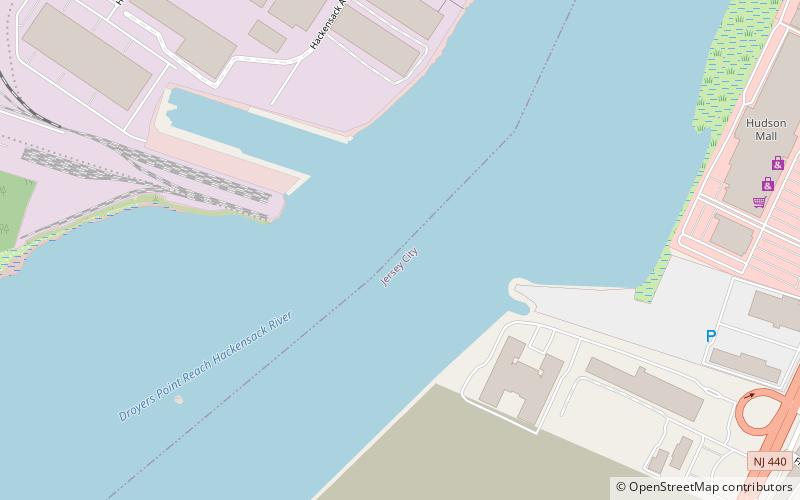
The Newark and New York Railroad was a passenger rail line that ran between Downtown Newark and the Communipaw Terminal at the mouth of the North River in Jersey City, bridging the Hackensack River and Passaic River just north of their mouths at the Newark Bay in northeastern New Jersey. The Central Railroad of New Jersey operated it from its opening in 1869. Though operations ended in 1946; portions remained in use until 1967. ()
Coordinates: 40°43'7"N, 74°6'14"W
Address
Newark
ContactAdd
Social media
Add
Day trips
Newark and New York Railroad – popular in the area (distance from the attraction)
Nearby attractions include: Pulaski Skyway, Lincoln Highway Passaic River Bridge, Lincoln Highway, Lincoln Park.
Frequently Asked Questions (FAQ)
Which popular attractions are close to Newark and New York Railroad?
Nearby attractions include Bayfront, Jersey City (7 min walk), Droyer's Point, Jersey City (14 min walk), Lincoln Highway, Newark (17 min walk), South Kearny, Jersey City (18 min walk).
How to get to Newark and New York Railroad by public transport?
The nearest stations to Newark and New York Railroad:
Light rail
Bus
Light rail
- West Side Avenue • Lines: Hblr (24 min walk)
Bus
- Society Hill • Lines: Ac30 (24 min walk)
- JFK Boulevard at McAdoo Avenue • Lines: 10, 119 (34 min walk)


