Beamer Trail, Grand Canyon National Park
#113 among attractions in Grand Canyon National Park


Facts and practical information
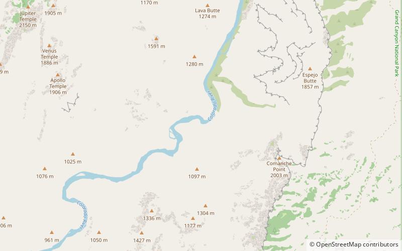
The Beamer Trail is a backpacking trail located on the South Rim of the Grand Canyon National Park, located in the U.S. state of Arizona. ()
Grand Canyon National Park United States
Beamer Trail – popular in the area (distance from the attraction)
Nearby attractions include: Desert View, Ochoa Point, Sheba Temple, Comanche Point.
 7-story tower by noted architect Colter
Desert View, Grand Canyon National Park
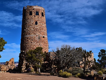
102 min walk • Perched on the South Rim of the awe-inspiring Grand Canyon National Park in Coconino County, Arizona, Desert View is a must-see scenic spot that offers some of the most breathtaking vistas of the canyon's expanse. This remarkable lookout point provides panoramic views...
 Cliff
CliffOchoa Point, Grand Canyon National Park
45 min walk • Ochoa Point is a 4,761-foot-elevation cliff-summit located in the eastern Grand Canyon, in Coconino County of northern Arizona, US. The landform is on a southeast ridgeline from Apollo Temple, with the Ochoa Point prominence on its southeast terminus.
 Mountain
Sheba Temple, Grand Canyon National Park
159 min walk • Sheba Temple is a 4,990-foot-elevation summit located in the eastern Grand Canyon, in Coconino County of northern Arizona, United States.
 Mountain
Comanche Point
42 min walk • Comanche Point is a 7,073-foot-elevation summit located in the Grand Canyon, in Coconino County of northern Arizona, US. Part of the Palisades of the Desert, Comanche Point is the high point on the canyon's less-visited East Rim, and is four miles north-northeast of Desert View Point, its nearest higher neighbor.
 Mountain
Rama Shrine, Grand Canyon National Park
139 min walk • Rama Shrine is a 6,406-foot-elevation platform-summit located in the eastern Grand Canyon, in Coconino County of northern Arizona, United States. The Shrine is named for Rama, the Hindu god of chivalry and virtue.
 Mountain
Jupiter Temple, Grand Canyon National Park
102 min walk • Jupiter Temple is a 7,084-foot-elevation summit located in the Grand Canyon, in Coconino County of northern Arizona, United States.
 Butte
ButteSolomon Temple, Grand Canyon National Park
144 min walk • Solomon Temple is a 5,121-foot-elevation summit located in the Grand Canyon, in Coconino County of northern Arizona, USA. It is situated four miles north of Moran Point, 3.5 miles east of Newberry Butte, and 1.5 mile southeast of Rama Shrine, its nearest higher neighbor.
 Hiking, Hiking trail
Escalante Route, Grand Canyon National Park
6 min walk • The Escalante Route is a hiking trail on the South Rim of the Grand Canyon National Park, located in the U.S. state of Arizona. It starts near the Tanner Rapids on the Colorado River and follows the river. It also passes by Escalante Creek and ends near the Hance Rapids.
 Mountain
Cardenas Butte, Grand Canyon National Park
78 min walk • Cardenas Butte is a 6,281-foot-elevation summit located in the eastern Grand Canyon, in Coconino County of northern Arizona, Southwestern United States. Cardenas Butte is named for García López de Cárdenas, the first European to see the Grand Canyon.
 Mountain
Escalante Butte, Grand Canyon National Park
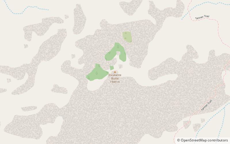
97 min walk • Escalante Butte is a 6,536-foot prominence adjacent the far eastern South Rim of the Grand Canyon, of Northern Arizona. Adjacent east is a lower elevation butte, Cardenas Butte.
 Hiking, Hiking trail
Tanner Trail, Grand Canyon National Park
112 min walk • The Tanner Trail is a hiking trail located on the South Rim of the Grand Canyon National Park, located in the U.S. state of Arizona.
