Bull's Island Recreation Area, Philadelphia
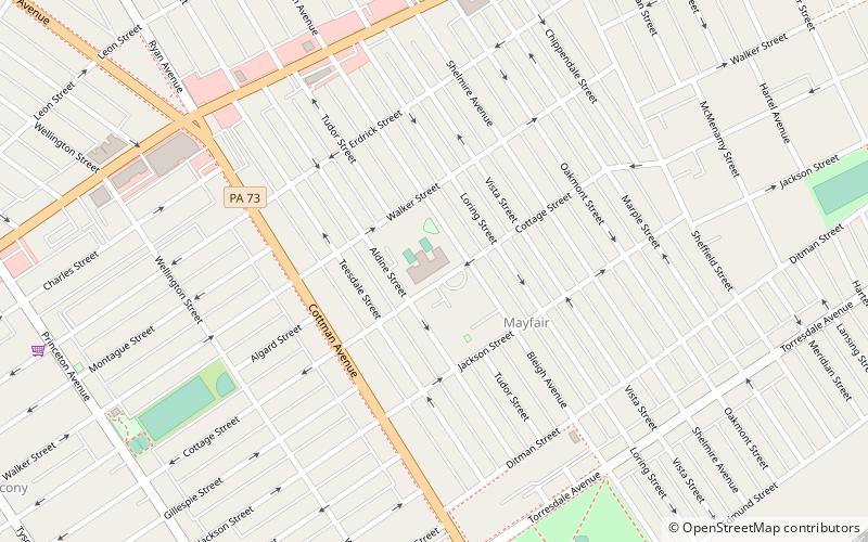
Map
Facts and practical information
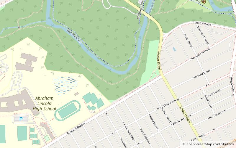
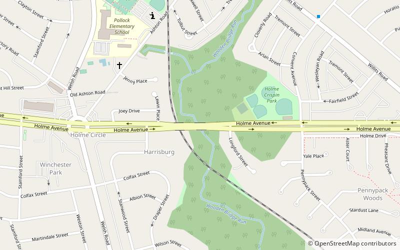
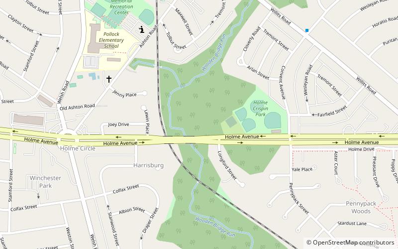
The 79-acre Bull's Island Recreation Area is on Bull's Island at Raven Rock along the Delaware River approximately 3 miles north of Stockton, within Delaware Township in Hunterdon County, New Jersey, United States. The park is a part of the 3,578 acres Delaware and Raritan Canal State Park. It offers a boat launch, fishing, and a nature trail. Canoes, kayaks, tubes, and rafts can be rented three miles north in Point Pleasant. The surrounding park includes a portion of the D&R Canal Trail, a multi-use trail built on the former Belvidere-Delaware Railroad bed that runs along the island on a north-south route. The park is operated and maintained by the New Jersey Division of Parks and Forestry. ()
Area: 80 acres (0.125 mi²)Coordinates: 40°2'45"N, 75°2'5"W
Getting there by public transportation
Public transportation stops near this location
- Train
 Train
Train
- Calculate routeHolmesburg Junction 28 min walk
Maps SEPTA Regional Rail
SEPTA Regional RailDay trips


Frequently Asked Questions (FAQ)
Which popular attractions are close to Bull's Island Recreation Area?
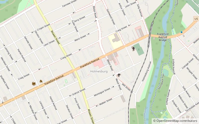
Nearby attractions include Insectarium, Philadelphia (13 min walk), Penypack Theatre, Philadelphia (14 min walk), Holmesburg, Philadelphia (15 min walk), Frankford Avenue Bridge, Philadelphia (20 min walk).
How to get to Bull's Island Recreation Area by public transport?
The nearest stations to Bull's Island Recreation Area:
Train
Train
- Holmesburg Junction (28 min walk)