Tacony, Philadelphia
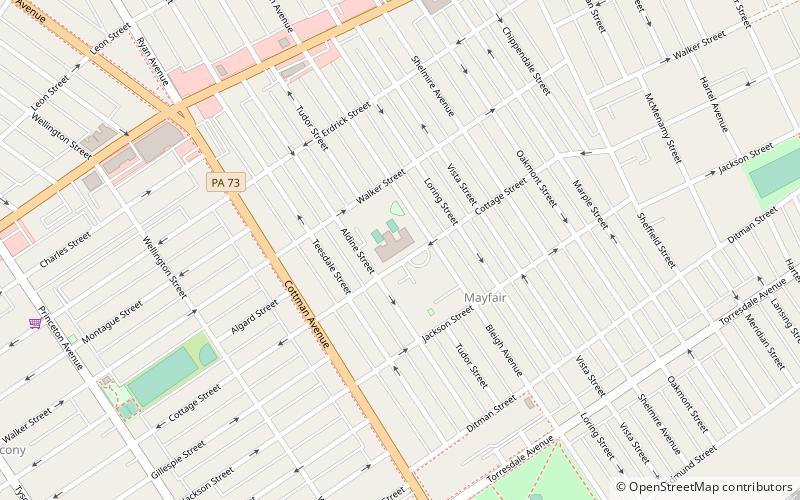
Map
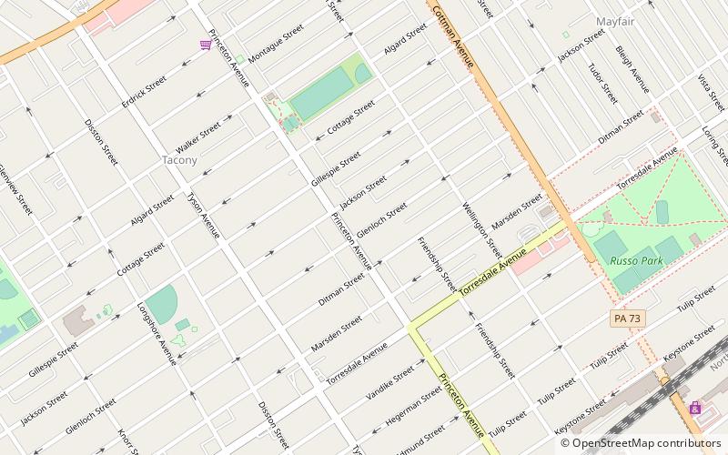
Map

Facts and practical information
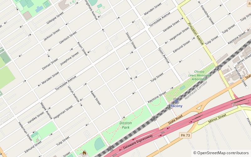
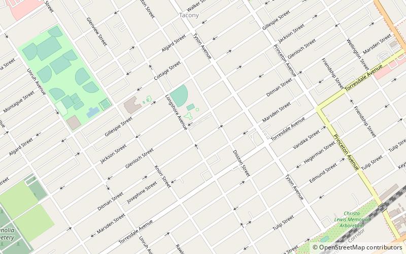
Tacony is a historic neighborhood in Northeast Philadelphia, about 8 miles from downtown Philadelphia. It is bounded by the east side of Frankford Avenue on the northwest, the south side of Cottman Avenue on the northeast, the north side of Robbins Street on the southwest, and the Delaware River and Interstate 95 on the southeast. ()
Coordinates: 40°1'48"N, 75°2'24"W
Address
North Delaware (Tacony)Philadelphia
ContactAdd
Social media
Add
Day trips
Tacony – popular in the area (distance from the attraction)
Nearby attractions include: Roosevelt Mall, Tacony–Palmyra Bridge, Tacony Music Hall, Frankford Avenue Bridge.
Frequently Asked Questions (FAQ)
Which popular attractions are close to Tacony?
Nearby attractions include St. Josaphat Ukrainian Catholic Church, Philadelphia (7 min walk), Mary Disston School, Philadelphia (8 min walk), Edwin Forrest School, Philadelphia (10 min walk), Hamilton Disston School, Philadelphia (10 min walk).
How to get to Tacony by public transport?
The nearest stations to Tacony:
Train
Train
- Tacony (12 min walk)
- Holmesburg Junction (23 min walk)

 SEPTA Regional Rail

