Edwin Forrest School, Philadelphia
Map
Facts and practical information
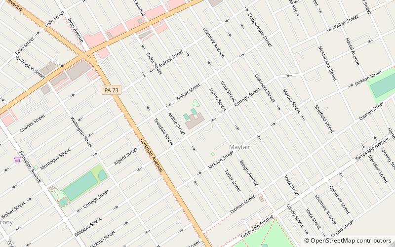
Edwin Forrest School is a public elementary school located in the Mayfair neighborhood of Philadelphia, Pennsylvania. It is within the School District of Philadelphia. ()
Coordinates: 40°2'4"N, 75°2'9"W
Address
North Delaware (Holmesburg)Philadelphia
ContactAdd
Social media
Add
Getting there by public transportation
Public transportation stops near this location
- Train
 Train
Train
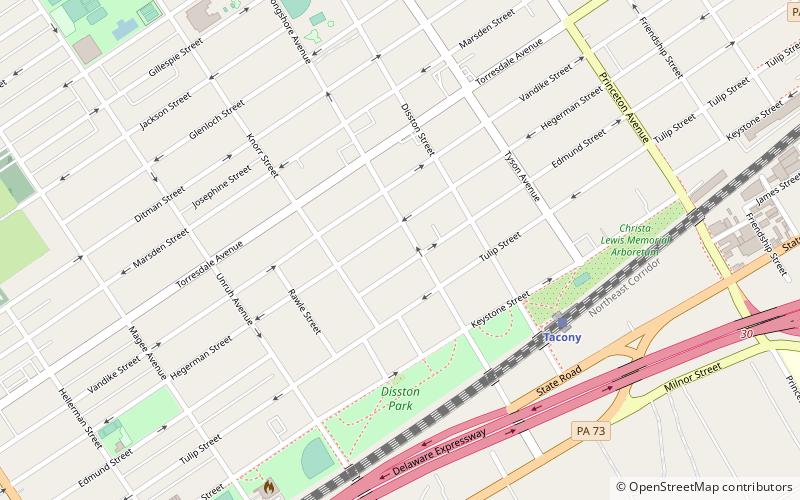
- Calculate routeHolmesburg Junction 17 min walk
- Calculate routeTacony 21 min walk
Maps SEPTA Regional Rail
SEPTA Regional RailDay trips


Frequently Asked Questions (FAQ)
Which popular attractions are close to Edwin Forrest School?
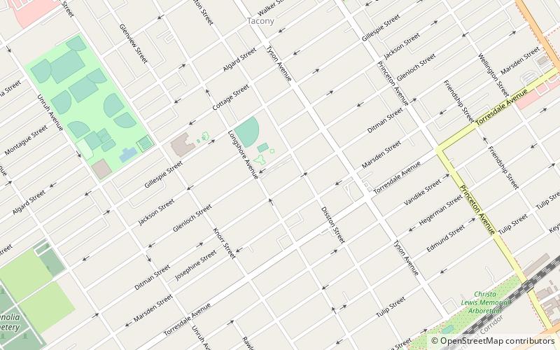
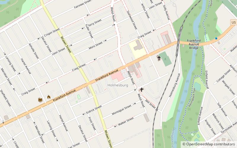
Nearby attractions include Tacony, Philadelphia (10 min walk), St. Josaphat Ukrainian Catholic Church, Philadelphia (17 min walk), Mary Disston School, Philadelphia (17 min walk), Holmesburg, Philadelphia (18 min walk).
How to get to Edwin Forrest School by public transport?
The nearest stations to Edwin Forrest School:
Train
Train
- Holmesburg Junction (17 min walk)
- Tacony (21 min walk)