Caloosahatchee National Wildlife Refuge
Map
Facts and practical information
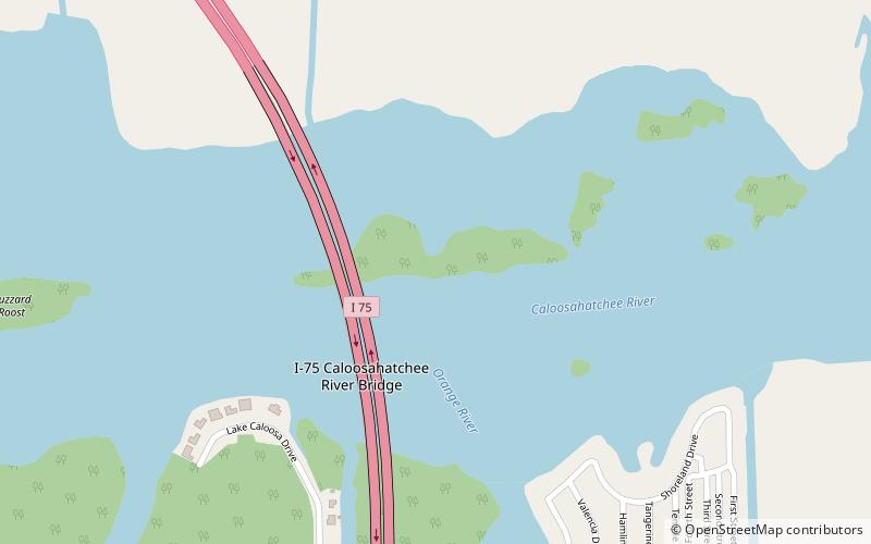
The Caloosahatchee National Wildlife Refuge is part of the United States National Wildlife Refuge System, located on the Caloosahatchee River, beneath the I-75 Caloosahatchee Bridge, within the city of North Fort Myers. The 40-acre refuge was established on January 1, 1921. It is administered as part of the J. N. "Ding" Darling National Wildlife Refuge Complex. ()
Coordinates: 26°41'54"N, 81°47'52"W
Day trips
Caloosahatchee National Wildlife Refuge – popular in the area (distance from the attraction)
Nearby attractions include: Edison and Ford Winter Estates, Murphy-Burroughs House, Caloosahatchee Bridge, Southwest Florida Museum of History.