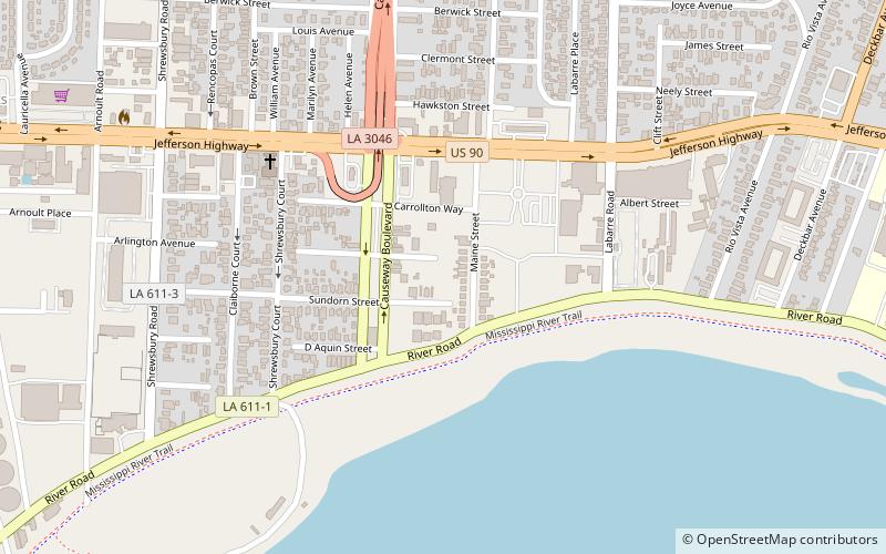
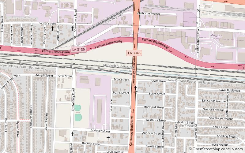
Camp Parapet, Metairie
Map

Map

Facts and practical information
Camp Parapet was a Civil War fortification at Shrewsbury, Jefferson Parish, Louisiana, a bit more than a mile upriver from the current city limits of New Orleans. ()
Built: 1861 (165 years ago)Coordinates: 29°57'39"N, 90°9'20"W
Address
HarlemMetairie
ContactAdd
Social media
Add
Day trips
Camp Parapet – popular in the area (distance from the attraction)
Nearby attractions include: Huey P. Long Bridge, Jefferson, Shrewsbury Cemetery, Magnolia Lane Plantation.
Frequently Asked Questions (FAQ)
Which popular attractions are close to Camp Parapet?
Nearby attractions include Jefferson, Metairie (7 min walk), Magnolia Lane Plantation, Metairie (9 min walk), Shrewsbury Cemetery, Metairie (16 min walk).


