Magnolia Lane Plantation, Metairie
Map

Map

Facts and practical information
The Magnolia Lane Plantation, also known as the Fortier Plantation, is a historic plantation located on the Mississippi River in Jefferson Parish, Louisiana along LA 541. The plantation was owned in 1784 by Edward Fortier, during the Spanish colonial period. After being purchased in 1867 the plantation changed its name. ()
Coordinates: 29°57'56"N, 90°9'17"W
Address
Metairie
ContactAdd
Social media
Add
Day trips
Magnolia Lane Plantation – popular in the area (distance from the attraction)
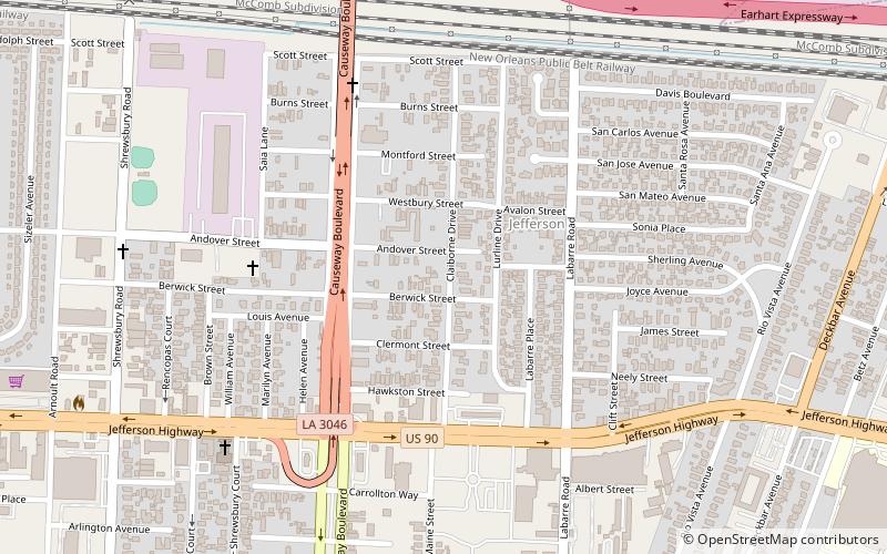
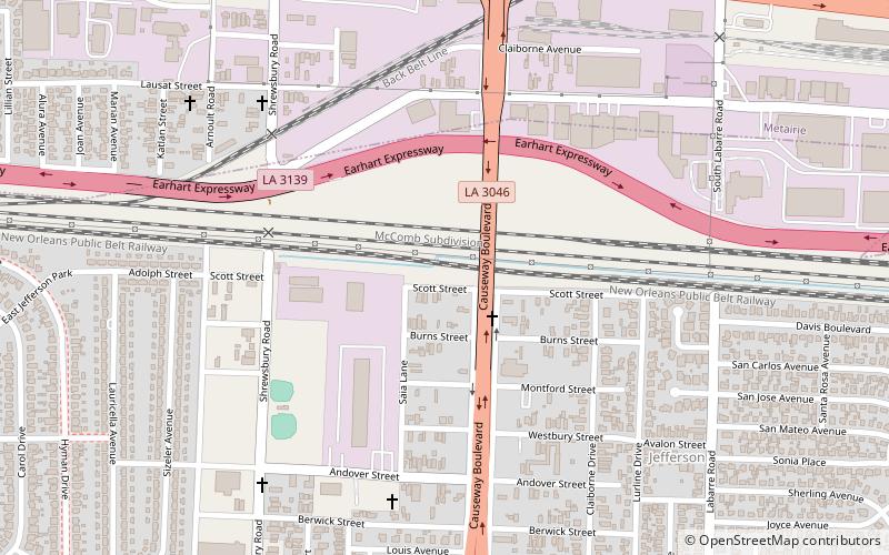
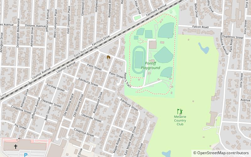
Nearby attractions include: Jefferson, Shrewsbury Cemetery, Camp Parapet, Pontiff Playground.
Frequently Asked Questions (FAQ)
Which popular attractions are close to Magnolia Lane Plantation?
Nearby attractions include Jefferson, Metairie (5 min walk), Shrewsbury Cemetery, Metairie (9 min walk), Camp Parapet, Metairie (9 min walk).


