Huntington Avenue Grounds, Boston
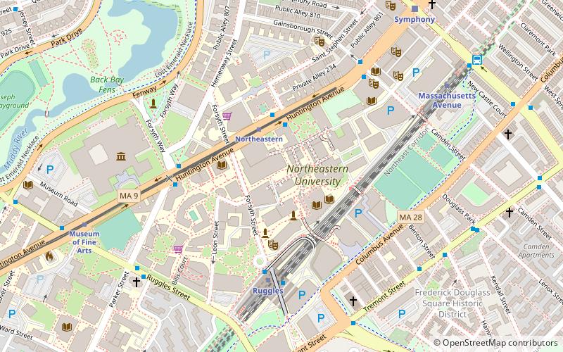
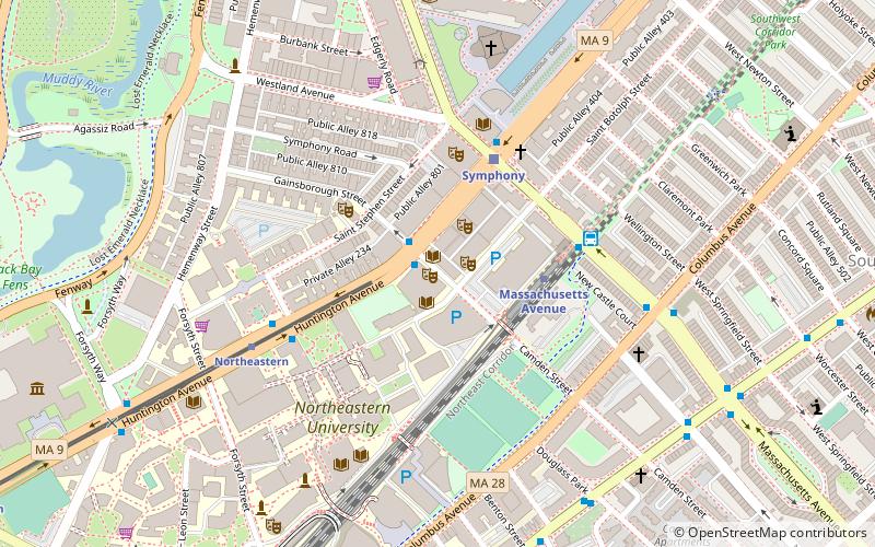
Map
Facts and practical information
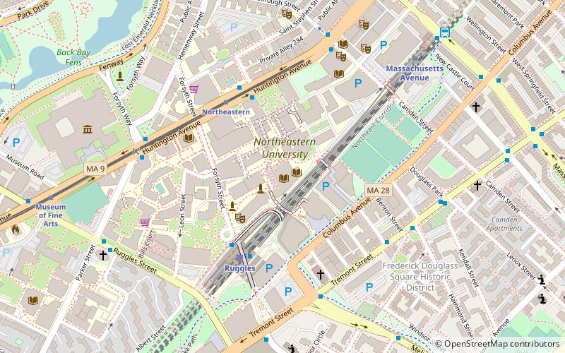
Huntington Avenue American League Baseball Grounds is the full name of the baseball stadium that formerly stood in Boston, Massachusetts, and was the first home field for the Boston Red Sox from 1901 to 1911. The stadium, built for $35,000, was located on what is now Northeastern University, at the time across the New York, New Haven and Hartford Railroad tracks from the South End Grounds, home of the Boston Braves. ()
Address
Fenway - Kenmore - Audubon Circle - LongwoodBoston
ContactAdd
Social media
Add
Day trips
Huntington Avenue Grounds – popular in the area (distance from the attraction)
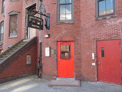
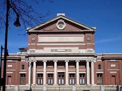
Nearby attractions include: Museum of Fine Arts, Wally's Cafe, Matthews Arena, The First Church of Christ.
Frequently Asked Questions (FAQ)
Which popular attractions are close to Huntington Avenue Grounds?
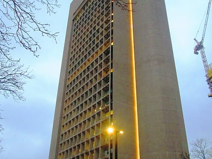
Nearby attractions include Snell Library, Boston (2 min walk), Interdisciplinary Science and Engineering Complex, Boston (4 min walk), Khoury College of Computer Sciences, Boston (5 min walk), YMCA Boston, Boston (5 min walk).
How to get to Huntington Avenue Grounds by public transport?
The nearest stations to Huntington Avenue Grounds:
Light rail
Bus
Train
Metro
Light rail
- Northeastern • Lines: E (3 min walk)
- Museum of Fine Arts • Lines: E (9 min walk)
Bus
- Ruggles Sta - Upper Level • Lines: 23 (4 min walk)
- Ruggles St @ Annunciation Rd • Lines: 8 (7 min walk)
Train
- Ruggles (5 min walk)
- Lansdowne (21 min walk)
Metro
- Ruggles • Lines: Orange (5 min walk)
- Massachusetts Avenue • Lines: Orange (8 min walk)
 MBTA Subway
