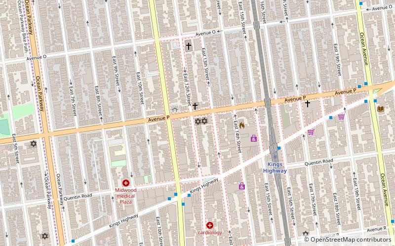
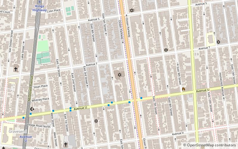
Jewish Center of Kings Highway, New York City
Map

Map

Facts and practical information
Jewish Center of Kings Highway is a historic synagogue at 1202–1218 Avenue P in Midwood, Brooklyn in New York City, USA. The synagogue was built between 1928 and 1930 and is a two-story-with-basement building faced in brick. It has a cast stone temple front with four engaged Corinthian order piers. Also on the property is a contributing school building built in 1949. ()
Built: 1928 (98 years ago)Coordinates: 40°36'35"N, 73°57'40"W
Address
1202 Avenue PSouthern Brooklyn (Sheepshead Bay)New York City
ContactAdd
Social media
Add
Day trips
Jewish Center of Kings Highway – popular in the area (distance from the attraction)
Nearby attractions include: B'nai Yosef Synagogue, Congregation Shaare Zion, Kingsway Jewish Center, Young Israel of Flatbush.
Frequently Asked Questions (FAQ)
Which popular attractions are close to Jewish Center of Kings Highway?
Nearby attractions include Coney Island Avenue, New York City (6 min walk), B'nai Yosef Synagogue, New York City (10 min walk), The Edmond J Safra Synagogue, New York City (12 min walk), Beth El Jewish Center of Flatbush, New York City (16 min walk).
How to get to Jewish Center of Kings Highway by public transport?
The nearest stations to Jewish Center of Kings Highway:
Metro
Bus
Metro
- Kings Highway • Lines: B, Q (6 min walk)
Bus
- 86th Street & West 8th Street • Lines: B1, B4 (39 min walk)

 Subway
 Manhattan Buses


